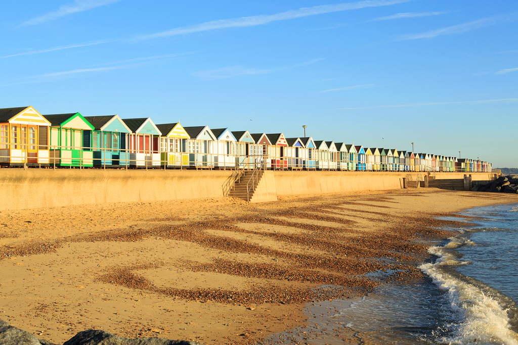
Met Office gives verdict on September heatwave for UK
Temperatures are set to reach 25C in London, but the Met Office clarifies that the brief warm spell falls short of an official heatwave.

Summer-like conditions are poised to make a temporary return to parts of the UK following a soggy start to the month, prompting forecasters to weigh in on whether the shift constitutes an official heatwave according to Yahoo News Canada. While the mercury is anticipated to climb significantly in the coming days, official criteria for a prolonged hot weather event remain unmet in key regions, leaving the nation instead to navigate a blend of warm daytime spells and persistent North Atlantic dampness reported AOL.
Saturday will see lingering wet weather pushing toward the south, while northern England, Wales, and the Midlands experience ongoing precipitation as detailed by Yahoo News Canada. Scotland and Northern Ireland will see rain clearing earlier in the day, paving the way for drier interludes. Southern parts of England are expected to stay predominantly dry with sunny spells, driving temperatures up to 24C in London and 20C in Plymouth.
Media additions
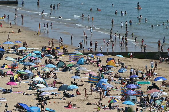


By Sunday, light winds and dry afternoon conditions are anticipated across parts of the south, although occasional rain may linger reported Yahoo News Canada. Temperatures are projected to hold steady, reaching 24C in London and 21C in Manchester. The warm trend culminates on Monday, when major urban centres experience notable peaks.
| Location | Saturday High | Sunday High | Monday High |
|---|---|---|---|
| London | 24C | 24C | 25C |
| Manchester | - | 21C | 22C |
| Cardiff | - | - | 22C |
| Plymouth | 20C | - | - |
| Parts of Scotland | - | - | 20C |
Despite these rising figures, the forecaster emphasizes that the conditions fall short of qualifying as an official heatwave noted the Daily Express. The official designation requires at least three consecutive days where daily maximum temperatures reach or exceed local thresholds, which stand at 28C in London and the south-east, and 25C in Scotland according to Aol. Projections from independent chart providers like WXCHARTS indicated potential peaks of up to 28C to 29C in select eastern and western zones during earlier projections reported the Nottingham Post, but the broader consensus points toward a more fleeting warmth.
The brief spike in temperatures is tied directly to the aftermath of a historic summer season. The Met Office confirmed that the UK experienced its hottest summer since records began nearly 150 years ago, recording a mean average temperature of 16.5C across June, July, and August according to Yahoo News Canada. That figure surpassed the previous seasonal high of 16.1C set the preceding year. Five separate heatwaves between May and August drove much of the country into drought conditions, sparking wildfires and travel disruption noted Yahoo News Canada, with the summer peak hitting 38.1C at Kew Gardens.
Looking ahead to the remainder of the month, conditions are expected to turn fresher from Tuesday onwards reported AOL. The wider outlook covering mid-to-late month points to changeable weather dominated by North Atlantic systems according to The Mirror. Rain and showers will be most frequent across northern and western regions, accompanied by occasional strong winds. Overall temperatures are expected to hover close to the September average of 17C, though occasional warm days and crisp nights bringing grass frosts remain possible noted AOL.
Concurrently, secondary risks accompany the fluctuating atmospheric patterns. Beyond the shifting temperatures, localized flood concerns persist along vulnerable coastal zones, particularly around the North Sea coast in East Yorkshire and parts of Norfolk reported The Mirror. Observers tracking local weather coverage will note that while high pressure may eventually bring more settled conditions toward the final third of the month, the immediate outlook demands caution against both sudden downpours and coastal hazards.