Met Office warns developing El Niño will be strongest in living memory
A powerful weather pattern developing in the Pacific Ocean is projected by the UK Met Office to become the strongest of its kind in living memory.
- Core Development: A powerful weather pattern developing in the Pacific Ocean is projected by the UK Met Office to become the strongest of its kind in living memory.
- Beat Context: Categorized under Weather with independent corroboration.
- Reporting Depth: 4 minute analytical read synthesized from verified newsroom sources.
A developing weather pattern across the Pacific Ocean is projected to become the most powerful of its kind in living memory. According to the UK's Met Office, the climate phenomenon is an unprecedented occurrence that will drive global temperatures upward and significantly alter weather systems worldwide.
The natural cycle occurs roughly every two to seven years and persists for about a year. Trade winds that normally push from east to west across the Pacific weaken or reverse direction, allowing vast expanses of warm water to drift eastward. This process releases significant heat from the ocean into the atmosphere, shifting global rainfall distribution and lifting average temperatures. While scientists declare an official event when sea surface temperatures in a key Pacific zone reach 0.5C above average, current measurements show those temperatures sitting well over 2C above normal.
Media additions
Met Office forecasts indicate that temperature anomalies could surge past 3C later this year as the event approaches its peak. Such figures would surpass any records dating back to the middle of the twentieth century and likely represent the strongest event since the nineteenth century. Deeper ocean measurements reveal subsurface temperatures reaching roughly 8C above normal at a depth of 100m in certain areas, providing a vast reservoir of warm water to fuel the developing pattern, as reported by Kahawatungu.
Additional research groups have projected even greater intensity, with temperature anomalies potentially reaching 4C above average. Dr Zeke Hausfather, a climate scientist at the US research group Berkeley Earth, noted that such intensity could rival events spanning centuries, though historical certainty diminishes that far back in time. Dr Hausfather added that months of continued development provide researchers with heightened confidence that the event will break records.
Global and Domestic Impacts
The disruption to global wind patterns and ocean heat distribution is already generating tangible effects across international regions. Below-average monsoon rains have been observed in South Asia, while hurricane activity in the Atlantic Ocean has seen suppression due to shifts in Caribbean and tropical Atlantic wind patterns. Closer to the tropical Pacific, the consequences are more profound, carrying heightened risks of droughts and bushfires in Australia alongside increased threats of flooding in Peru, Ecuador, and the southern United States.
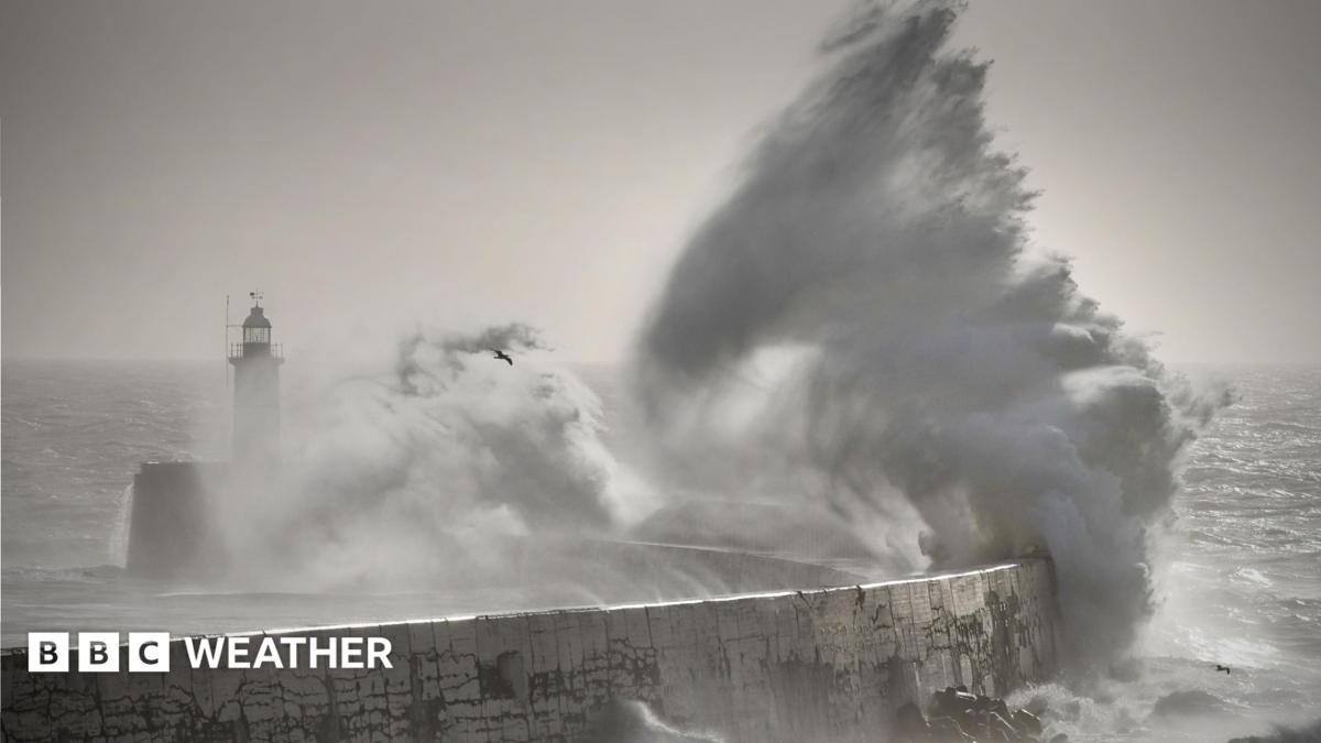
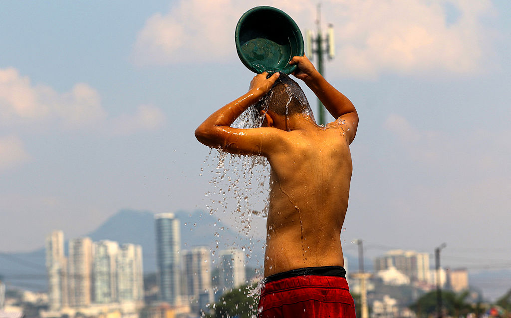
For the UK and northwest Europe, the phenomenon is expected to exert its greatest influence during the autumn and early winter months. Forecasters point to signals indicating an increased likelihood of wet and stormy conditions, which could bring threats of flooding, property damage, transport disruption, and power cuts. While the current summer heatwaves were not primarily driven by this cycle, experts suggest that the additional warming combined with long-term climate change could create conditions for extreme heat in future seasons, as outlined in BBC Weather reporting.
Historical parallels offer mixed indicators for subsequent seasons. The winter of 2015 and 2016 coincided with a strong event that delivered extreme flooding via a succession of major storms. Conversely, the relationship with late-winter cold spells remains loose and variable. While the severe freeze of 2009 and 2010 coincided with the cycle, the winter of 2006 and 2007 proved unseasonably warm. Consequently, while the pattern increases the probability of cold weather early in 2027, such outcomes remain uncertain.
Temperature Projections and Expert Perspectives
Globally, a very strong event typically elevates average temperatures by 0.2C. When combined with human-induced climate change, this added warmth significantly amplifies global heatwave risks. Dr Nick Dunstone, a climate scientist at the Met Office, explained that the massive release of heat from ocean to atmosphere leads to higher global averages, particularly in the calendar year following the winter peak. As a result, authorities warn that next year is very likely to surpass previous temperature highs and become the warmest year on record.
Experts emphasize that long-term global warming remains the primary driver behind rising temperatures and extreme heat risks. Dr Akshay Deoras, a climate scientist at the University of Reading, noted that while the developing Pacific pattern adds supplementary warmth, it remains too early to definitively predict next summer's exact conditions for the UK. Meanwhile, international bodies have raised separate alarms regarding human impacts, with the UN's Food and Agriculture Organization warning that the global weather shift threatens tens of millions of people in vulnerable nations with acute food insecurity.
Global and Regional Effects at a Glance
- Pacific Region: Sea surface temperatures sitting well over 2C above normal, with potential anomalies exceeding 3C.
- South Asia: Southwest monsoon rainfall running well below normal.
- Atlantic and Caribbean: Suppressed hurricane activity driven by atmospheric wind shifts.
- Australasia and South America: Increased threats of drought and bushfires in Australia, alongside flooding risks in Peru and Ecuador.
- United Kingdom: Heightened potential for wet, stormy weather during autumn and early winter, with subsequent implications for 2027 temperatures.
As the weather pattern continues its progression toward a late-year peak, scientists will monitor subsurface ocean temperatures and atmospheric signals. Further updates regarding seasonal forecasts and potential weather warnings will be issued as conditions evolve.
How significant is this development?
Contribute your assessment to the aggregated reader sentiment ledger.
Frequently Asked Questions
Key questions answered in this reportWhat is the key development in: Met Office warns developing El Niño will be strongest in living memory?
A powerful weather pattern developing in the Pacific Ocean is projected by the UK Met Office to become the strongest of its kind in living memory.
Why is this Weather development significant for the UK?
This report covers critical events in our Weather beat. Independent reporting monitors related UK statements, regulatory shifts, and public responses as further verified details emerge.
How was this reporting corroborated and verified?
Newsarchy UK compiles and cross-references reporting from primary reporting from bbc.com and cross-checked wire reports. All coverage adheres to published editorial standards.
When was this report published?
This briefing was published on August 21, 2026 and is permanently cataloged in the Newsarchy UK Weather archives.


