Strong winds and rain continue before calmer weather arrives
Yellow weather warnings remain in place across parts of the UK as strong winds and heavy rain continue to cause disruption following a turbulent weekend of storms.

- Core Development: Yellow weather warnings remain in place across parts of the UK as strong winds and heavy rain continue to cause disruption following a turbulent weekend of storms.
- Beat Context: Categorized under Weather with independent corroboration.
- Reporting Depth: 3 minute analytical read synthesized from verified newsroom sources.
Strong winds and heavy rain continue to sweep across parts of the UK on Monday, 26 October 2026, creating ongoing disruption following a weekend of turbulent weather. Yellow national severe weather warnings remain active for parts of Scotland and western areas of the UK as gales and spells of rain persist around exposed coasts and higher ground, according to the Met Office. The lingering severe weather threatens to hamper ongoing recovery efforts after recent storms pummelled the country.
The current unsettled spell follows a turbulent weekend defined by consecutive storms that brought widespread disruption. According to Aol, Storm Boelo followed closely after Storm Austen, driving 84 mph gusts and dumping a third of a month's rain into pockets of Scotland. The severe weather triggered widespread transport cancellations, road warnings, and property damage, including the collapse of part of the historic West Pier in Brighton, as reported by BBC Weather. Power networks suffered extensively, with the Energy Networks Association reporting that power cuts affected 838,700 properties across both storms, and thousands of customers remained without electricity at the start of the week alongside school closures in Aberdeenshire and the Highlands.
Media additions
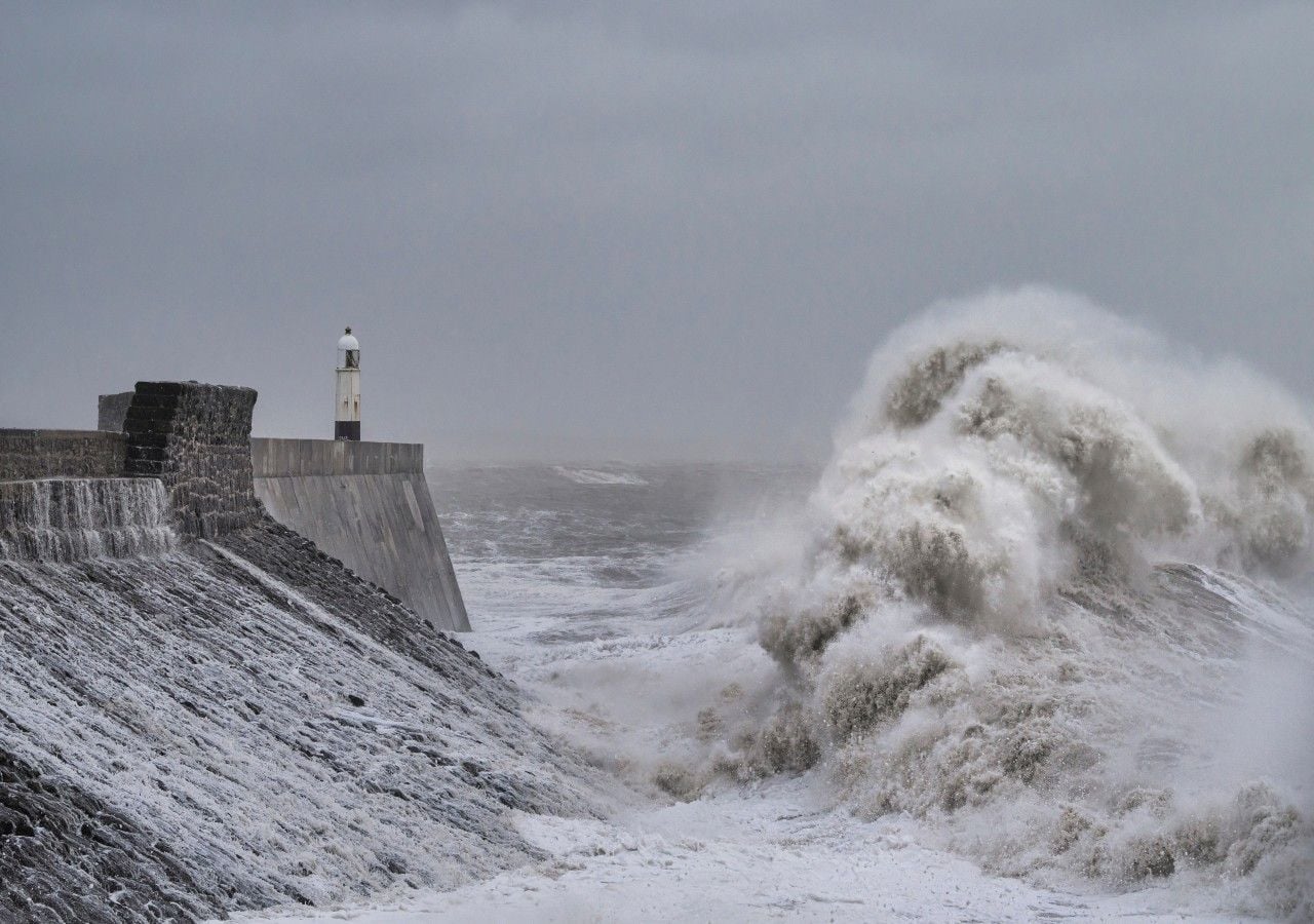


The tragic human toll of the weekend storms was highlighted by The Mirror, which noted that a man in his twenties was killed when a falling tree struck his car in north London, while a 60-year-old man died in Dumfries and Galloway after being hit by a falling tree. Environment agencies across the nations issued numerous active flood warnings and alerts on Monday to manage rising water levels and coastal risks. Motorists facing hazardous road conditions were urged by Chronicle Live to assess whether their journeys were strictly necessary, ensure breakdown cover is updated, and maintain safe distances from high-sided vehicles and vulnerable road users.
Pet owners also faced unique challenges, with animal welfare charity Blue Cross issuing guidance on managing noise and weather anxiety in dogs, while advising households to secure gardens and block escape routes as sudden pressure changes frighten animals, according to the Express.
As the week progresses, meteorological conditions are set to shift dramatically. Forecasters at Your Weather note that while Tuesday will keep northern areas windy with early rain turning to showers and gusts reaching 70 mph or more in exposed northern spots, conditions will begin to transition.
| Day | Weather Focus | Key Regions Affected |
|---|---|---|
| Monday, 26 October 2026 | Wet and windy, coastal flood risks | Southern, western, and northeastern UK |
| Tuesday, 27 October 2026 | Gales, 70+ mph gusts, showers | Northern and western Scotland, Northern Ireland |
| Wednesday, 28 October 2026 | Building high pressure, easing winds | Most areas, remaining windy in the far north |
Looking ahead to the remainder of the week, Met Office Deputy Chief Forecaster Steven Keates explained that high pressure will establish itself across the UK from midweek onward. Thursday, 29 October 2026, is expected to be largely dry with variable cloud and lighter winds, though morning mist and fog could form across parts of England and Wales. Into Friday and the weekend, temperatures will hover close to or slightly above average for the time of year, with southeastern regions enjoying the brightest spells while northwestern areas contend with patchy light rain and morning fog.
How significant is this development?
Contribute your assessment to the aggregated reader sentiment ledger.
Frequently Asked Questions
Key questions answered in this reportWhat is the key development in: Strong winds and rain continue before calmer weather arrives?
Yellow weather warnings remain in place across parts of the UK as strong winds and heavy rain continue to cause disruption following a turbulent weekend of storms.
Why is this Weather development significant for the UK?
This report covers critical events in our Weather beat. Independent reporting monitors related UK statements, regulatory shifts, and public responses as further verified details emerge.
How was this reporting corroborated and verified?
Newsarchy UK compiles and cross-references reporting from primary reporting from BBC and cross-checked wire reports. All coverage adheres to published editorial standards.
When was this report published?
This briefing was published on October 26, 2026 and is permanently cataloged in the Newsarchy UK Weather archives.


