Peru earthquake: Magnitude 6.7 tremor strikes southern Andes
A powerful earthquake struck Peru's southern Andes, injuring at least two people and causing structural damage across multiple regions.
- Core Development: A powerful earthquake struck Peru's southern Andes, injuring at least two people and causing structural damage across multiple regions.
- Beat Context: Categorized under World with independent corroboration.
- Reporting Depth: 4 minute analytical read synthesized from verified newsroom sources.
A powerful earthquake struck Peru on Thursday, Aug. 20, 2026, according to the United States Geological Survey. The tremor shook the southern Andes Mountains, prompting panicked residents to flee buildings into the streets as the ground shook.
While initial reports varied regarding the scope of the destruction, authorities later confirmed that the seismic event injured at least two people and caused structural damage across multiple regions, according to Republicworld. The South American country, which is the world's second-largest copper producer, is located in the Pacific Ring of Fire, where about 85% of the world's seismic activity is recorded, according to USA Today reporting.
Media additions

Epicentre and Seismic Readings
The United States Geological Survey placed the earthquake's magnitude at 6.7, noting that it struck at 1 p.m. Local time on Thursday, Aug. 20. The epicentre was located roughly 38 kilometres (24 miles) northwest of Upahuacho in the Parinacochas province of the Ayacucho region. Fox Weather reported the location as 23.6 miles northwest of Upahuacho at 2 p.m. EDT. Discrepancies emerged regarding the depth and exact measurement of the quake, with the United States Geological Survey citing varying figures around 61.52 miles, 66 kilometres, or 66.7 kilometres deep, while other outlets reported depths near 41.4 miles or 99 kilometres. Meanwhile, the Peruvian Geophysical Institute recorded the magnitude higher at 7.2, according to the New Zealand Herald. The Peruvian Geophysical Institute also noted an epicentre located 35 kilometres north of Coracora in the Parinacochas province of the Ayacucho region, with a depth of 108 kilometres.
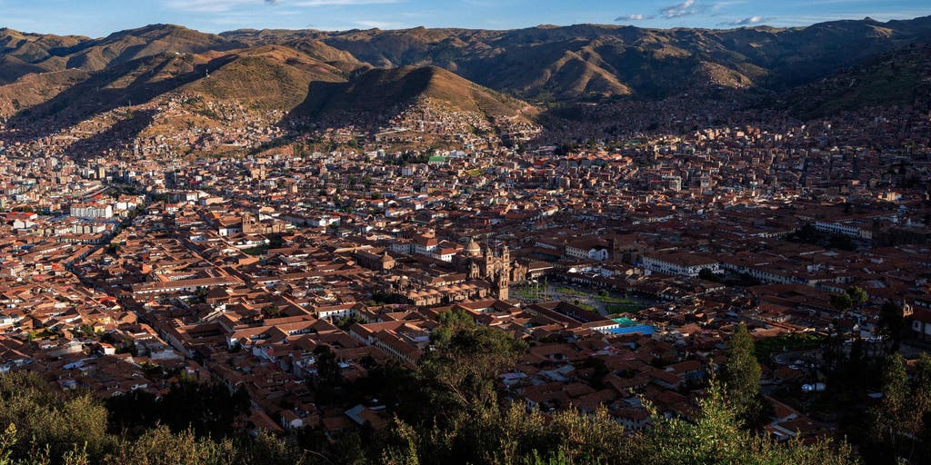
Preliminary estimates from Fox Weather indicated that roughly 197,000 people felt moderate shaking. Strong shaking was experienced in areas near the epicentre, including Coracora, where the local population of about 10,000 watched earth and rocks tumble down nearby hillsides. Light shaking was reported in Cusco, a populous city in the Peruvian Andes that was once the capital of the Inca Empire, as well as in Ayacucho, according to Fox Weather. Preliminary estimates from the United States Geological Survey indicated a low likelihood of fatalities and economic losses for the impacted region, characterized as containing structures highly vulnerable to earthquake shaking alongside some resistant structures.
Impact and Conflicting Early Reports
Early confusion shadowed the immediate aftermath of the disaster. Luis Vasquez, head of Civil Defence, initially told local radio station RPP that no damage of any kind had been reported, according to India Today. Yony Reyes, also referred to as Yony Odon, mayor of Parinacochas province, similarly maintained to state television in a telephone call that the provincial capital had escaped damage, expressing hope that there was no major damage while noting that the population had responded by evacuating and taking shelter.
However, as assessments continued, officials confirmed a different picture. Luis Vásquez later stated that two people sustained injuries while evacuating their homes in Coracora, according to Republicworld reporting. Authorities documented damage to 22 homes, six health centers, and a school spread across Ayacucho and Cusco districts, including Puquio, Pullo, Coracora, Upahuacho, San Pedro, and Pichari.
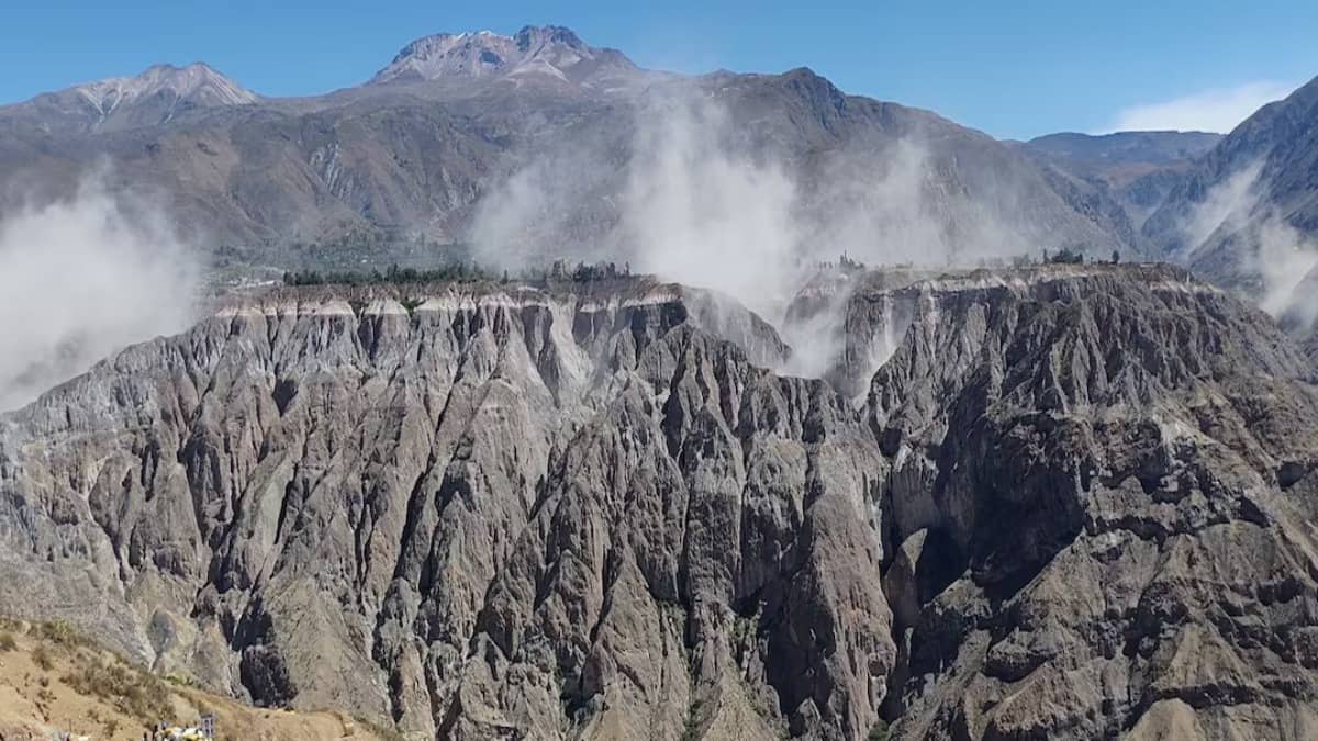
The tremor was felt widely across southern Peru, reaching Ica, Arequipa, Huancavelica, Apurimac, and Cusco, as well as the capital city of Lima. Social media footage captured students and teachers in Cusco running out of buildings to shelter on sports fields, while residents huddled in streets, according to the New Zealand Herald. Other videos filmed high in the Andes showed dust rising from the mountains as a deep rumbling sounded in the background. Hernando Tavera, head of the Geophysical Institute of Peru, told local radio station RPP that the earthquake's depth helped prevent more catastrophic destruction, stating:
The Peruvian Navy promptly ruled out any tsunami threat."The population went out to the streets out of concern, but there is no impact"
Hernando Tavera, head of the Geophysical Institute of Peru, via USA Today
Regional Context and Seismic Vulnerability
Peru has endured severe historical seismic events, including a 2007 magnitude 7.9 earthquake in the Ica region that left nearly 600 people dead, and an August 2007 earthquake off the central coast measuring 8.0 magnitude that caused widespread destruction around Pisco, Chincha Alta, and Ica, killing 519 people and injuring more than 1,000 according to a scientific study cited by India Today.
This latest Andean tremor arrives amid a broader wave of recent seismic activity across South America, according to the New Zealand Herald, which includes a major earthquake sequence in Colombia and back-to-back major earthquakes in Venezuela. Officials continue monitoring potentially affected areas as authorities assess the situation and work to review the impact of the latest tremor.
How significant is this development?
Contribute your assessment to the aggregated reader sentiment ledger.
Frequently Asked Questions
Key questions answered in this reportWhat is the key development in: Peru earthquake: Magnitude 6.7 tremor strikes southern Andes?
A powerful earthquake struck Peru's southern Andes, injuring at least two people and causing structural damage across multiple regions.
Why is this World development significant for the UK?
This report covers critical events in our World beat. Independent reporting monitors related UK statements, regulatory shifts, and public responses as further verified details emerge.
How was this reporting corroborated and verified?
Newsarchy UK compiles and cross-references reporting from primary reporting from nzherald.co.nz and cross-checked wire reports. All coverage adheres to published editorial standards.
When was this report published?
This briefing was published on August 21, 2026 and is permanently cataloged in the Newsarchy UK World archives.