Met Office warns drivers of dense fog ahead of Monday morning
Drivers face severe travel disruption as a yellow fog warning covers large parts of England and Wales, bringing hazardous low visibility.
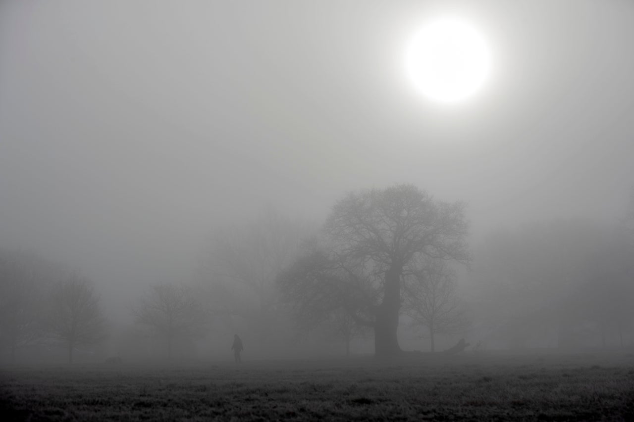
Drivers face severe travel disruption as a yellow fog warning covers large parts of England and Wales, bringing hazardous low visibility and difficult commuting conditions.
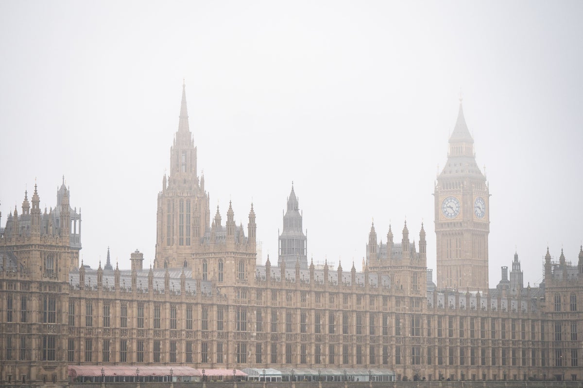
The Met Office issued a yellow weather warning that came into force on Sunday evening and remains active until 11am on Monday. The alert zone stretches from York to Bath, encompassing the South East, eastern England, and parts of Wales, with visibility dropping to 50 metres or less in several locations. Commuters are advised to expect slower journey times, potential delays on bus and train services, and possible flight cancellations.
Media additions

Operational meteorologist Niamh Murray described the atmospheric setup as the "perfect recipe" for low visibility reported Newswav. Ms Murray explained that autumn and winter bring longer nights that allow temperatures to fall away, creating a prolonged cooling period where air temperatures approach saturation.
"We just have the perfect recipe at the moment: light winds, clear skies, long nights, to allow that fog to develop. And particularly if we see the negative numbers, it can be quite stubborn to clear the next day."
Niamh Murray, Met Office operational meteorologist, via Radioroyal
Forecasters note that patchy fog could still affect areas outside the primary warning boundary, including the West Country, Northern Ireland, and the central belt of Scotland. Sky News forecaster Kirsty McCabe warned that smoke from bonfires and fireworks could exacerbate visibility issues over the coming nights according to Radioroyal. Ms McCabe further noted that an area of high pressure sitting over the UK has effectively trapped mist and murk, making it harder for fog to clear.
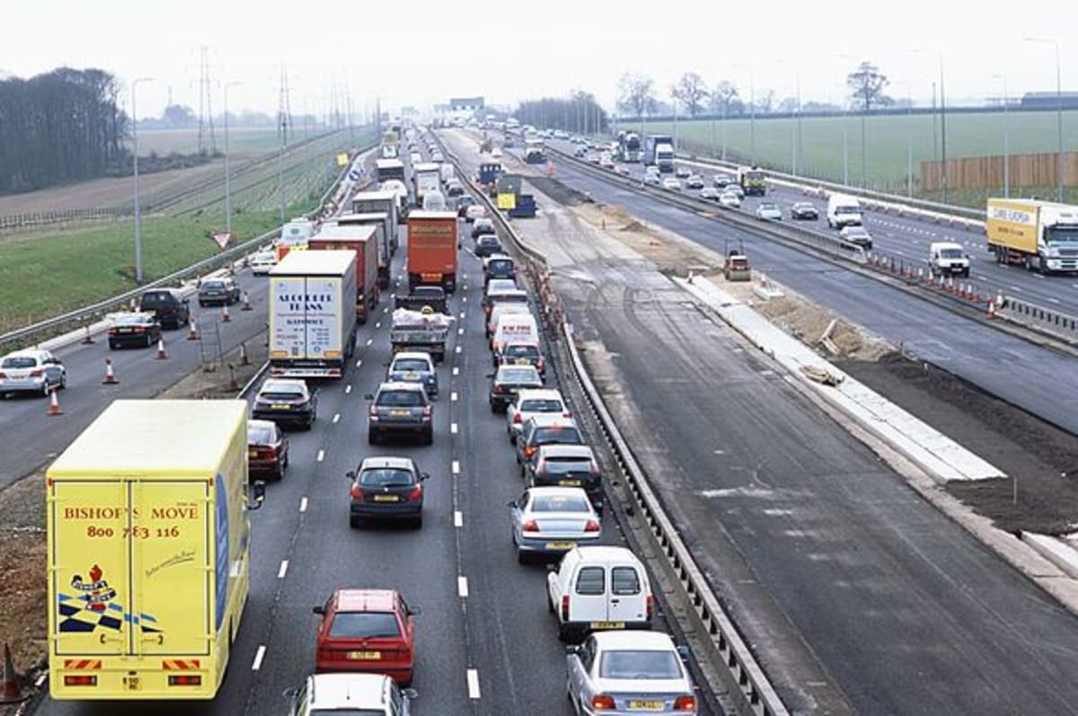
On Saturday, a stretch of the M20 in Kent was shut both ways between junction 8 and 9 near Maidstone after more than 30 vehicles were involved in a crash in thick fog, leaving two people seriously injured reported Radioroyal, Newswav.
Road safety organizations have urged motorists to take extra precautions. AA president Edmund King cautioned that fog can alter familiar routes within minutes, warning drivers against relying solely on the rear lights of preceding vehicles reported Newswav. Authorities advise motorists to allow extra journey time, ensure fog lights are operational, and avoid using full-beam headlights because fog reflects light back according to Radioroyal.
| Warning Parameter | Details |
|---|---|
| Warning Type | Yellow Weather Warning for Fog |
| Timing | Sunday evening until Monday at 11am |
| Affected Regions | York to Bath, South East, eastern England, Wales |
| Visibility | Down to 50 metres or less in places |
The fog warning covers 85 different areas reported Aol, spanning multiple counties and authorities across England and Wales:
- East Midlands (including Derbyshire, Leicestershire, Lincolnshire, Northamptonshire, and Nottinghamshire)
- East of England (including Bedfordshire, Cambridgeshire, Essex, Hertfordshire, Norfolk, and Suffolk)
- London and South East England (including Greater London, Kent, Surrey, East Sussex, and West Sussex)
- North West England and Yorkshire and the Humber
- South West England (including Bristol, Dorset, Gloucestershire, and Somerset)
- Wales (including Cardiff, Newport, Powys, and Wrexham)
What to watch next
Forecasters anticipate a big flip in the weather over the following days as low pressure departs and high pressure returns noted Yahoo News UK. Rain is expected to return from Tuesday through Thursday, with most places likely to see 10 to 20mm of rainfall, and up to 50 to 70mm across parts of the South West where severe drought remains enforced by the Environment Agency reported AOL. Later in the week, winds are projected to swing round to a northerly direction, potentially bringing frost instead of fog according to Radioroyal.


