Met Office issues flood warning from storms as heatwave comes to an end
Following a record-breaking heatwave, the UK faces a transition to volatile weather with the Met Office warning of thunderstorms and potential flash flooding.
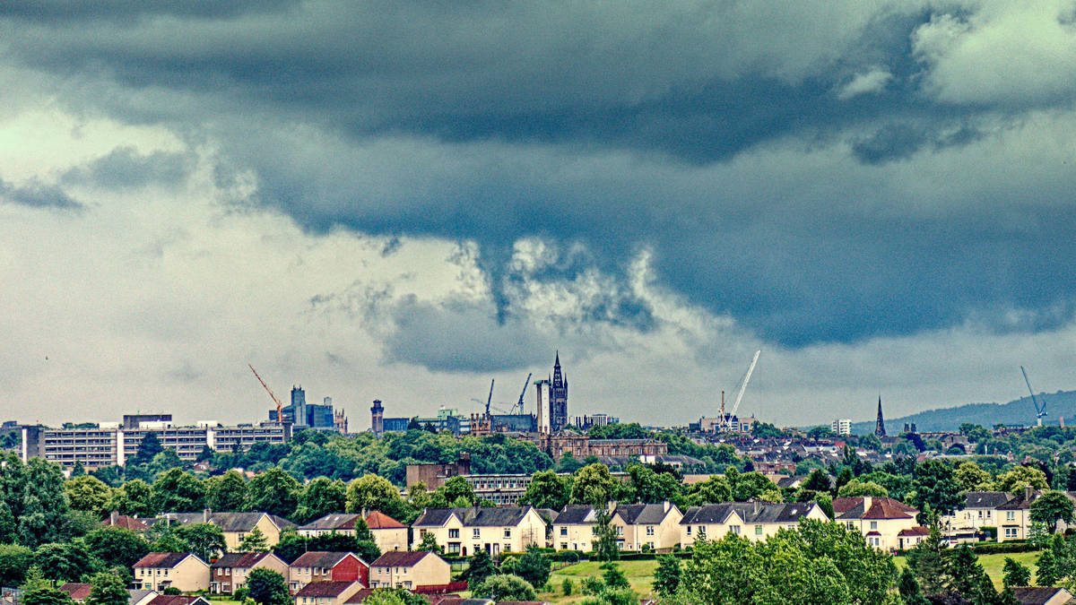
- Core Development: Following a record-breaking heatwave, the UK faces a transition to volatile weather with the Met Office warning of thunderstorms and potential flash flooding.
- Beat Context: Categorized under Weather with independent corroboration.
- Reporting Depth: 3 minute analytical read synthesized from verified newsroom sources.
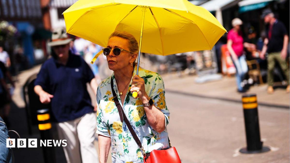
The intense, record-breaking heatwave that has gripped the United Kingdom this week is drawing to a close, replaced by a shift in atmospheric conditions that has prompted the Met Office to issue formal warnings for thunderstorms and potential flooding. As temperatures descend from their peak — which reached 34.7C on Tuesday, marking the hottest day of the year so far — meteorologists are tracking a transition toward unsettled, and at times volatile, weather patterns.
The Met Office has implemented a yellow weather warning for thunderstorms, covering parts of south-east Scotland and north-east England. This alert, active until 6pm, highlights the risk of surface water flooding caused by rapid, heavy downpours. Forecasters anticipate that some areas could see up to 20mm of rain in less than an hour as the weather systems push eastward toward the North Sea.
Media additions


Regional Outlook and Weather Risks
The transition follows a period of extreme thermal pressure. While the south of England and Wales will see temperatures retreat to the low-to-mid 20Cs, a significant drop from Tuesday’s extremes, the break in the heat is not without its own hazards. In addition to the localized flooding threat, strong winds reaching speeds of up to 40mph are forecast for regions including East Lothian and Edinburgh.
According to The Standard, the South East is also expected to experience outbreaks of rain, with the possibility of thunder affecting areas such as Kent and Sussex. Despite the cooling trend, temperatures in the South East are predicted to hit a maximum of 27C, which remains above the long-term regional average of approximately 23C.
The contrast between the recent heat and the incoming storms has raised concerns regarding the state of the ground. Because the prolonged heatwave has baked the soil, its ability to absorb sudden, heavy precipitation is severely reduced. This "parched ground" effect leads to faster surface runoff, which, as reported by Ibtimes, increases the risk of flash flooding in both urban and rural settings. This phenomenon is often described by meteorologists as a "whiplash" effect, where the landscape faces rapid shifts between extreme heat and saturated, stormy conditions.
Safety and Preparedness
The shift in weather has necessitated a change in travel advice. With the potential for difficult driving conditions caused by spray and sudden flooding, road safety organizations and the Met Office have urged residents to monitor local guidance. The following summary outlines what to watch for as the weather systems move across the country:
- Surface Water: High intensity rainfall over short durations may cause immediate flooding on roads and in lower-lying areas.
- Infrastructure: Residents in affected zones have been advised to secure loose outdoor items and prepare flood plans if their properties are at risk.
- Travel: While major disruptions are not universal, lightning and heavy rain may impact rail and bus services, and drivers should anticipate reduced visibility and potential road surface issues.
- Coastal and High Ground: Wind gusts up to 40mph pose challenges for exposed coastal areas and higher elevations, particularly in north-east Scotland.
Looking Ahead
As the current yellow warning expires on Wednesday evening, the forecast suggests a split in conditions. While Thursday is expected to be largely dry and warm in the south, the north-west remains unsettled. Scattered showers, increased cloud cover, and isolated thunderstorms are likely to persist, particularly in north-east Scotland, throughout Thursday afternoon.
For those tracking the end of the heatwave, the cooling trend is a notable departure from the "oppressively hot" conditions experienced earlier in the week. Meteorologist Alex Burkill noted that while temperatures will remain "warm," they will not reach the extremes that recently prompted amber heat health alerts across much of England and Wales.
The Met Office continues to advise the public to remain #WeatherAware as these systems clear. With reservoir levels in some parts of the country still under pressure from the earlier heat, officials emphasize that while these storms may be intense, they are unlikely to resolve the underlying drought conditions, as much of the precipitation is expected to drain into rivers rather than penetrating the dry soil.
How significant is this development?
Contribute your assessment to the aggregated reader sentiment ledger.
Frequently Asked Questions
Key questions answered in this reportWhat is the key development in: Met Office issues flood warning from storms as heatwave comes to an end?
Following a record-breaking heatwave, the UK faces a transition to volatile weather with the Met Office warning of thunderstorms and potential flash flooding.
Why is this Weather development significant for the UK?
This report covers critical events in our Weather beat. Independent reporting monitors related UK statements, regulatory shifts, and public responses as further verified details emerge.
How was this reporting corroborated and verified?
Newsarchy UK compiles and cross-references reporting from primary reporting from bbc.co.uk and cross-checked wire reports. All coverage adheres to published editorial standards.
When was this report published?
This briefing was published on July 21, 2026 and is permanently cataloged in the Newsarchy UK Weather archives.