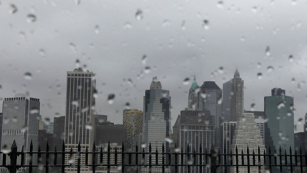
Met Office issues danger to life warning as Storm Austen brings 80mph winds
The Met Office has issued a rare amber warning as Storm Austen hits the UK with 80mph gusts, threatening power cuts and other disruptions.
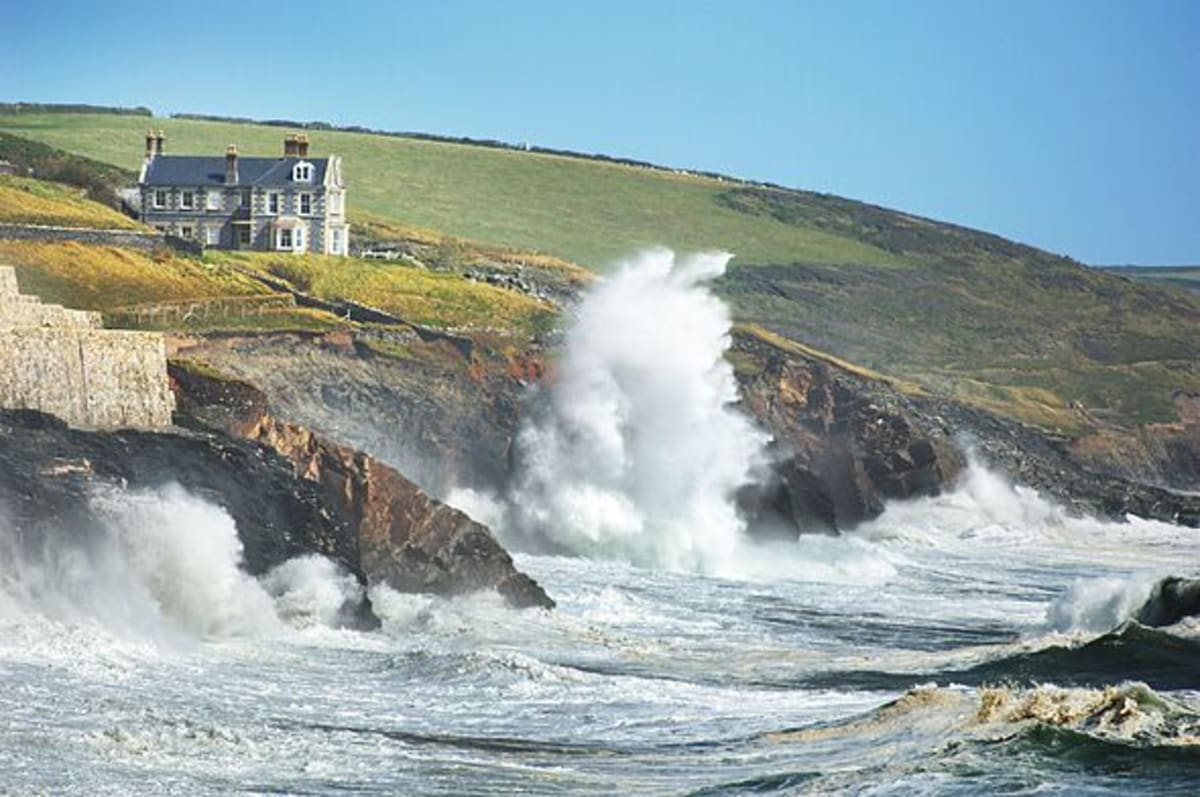
- Core Development: The Met Office has issued a rare amber warning as Storm Austen hits the UK with 80mph gusts, threatening power cuts and other disruptions.
- Beat Context: Categorized under Weather with independent corroboration.
- Reporting Depth: 4 minute analytical read synthesized from verified newsroom sources.
The Met Office has issued severe weather warnings across the UK as Storm Austen arrives as the first named storm of the season. Weather warnings span multiple regions, bringing threats of gale-force winds, heavy rain, and potential disruption to travel and utilities.
According to the Met Office, an amber warning for wind has been put in place covering areas including Cornwall, Devon, the Isles of Scilly, and Plymouth. The warning is scheduled to run from 3 am to 10 am on Friday. Forecasters note that very strong northwesterly winds are likely during Friday morning, with a high likelihood of 50-75%. Gale-force winds of 60-70 mph are expected to develop widely, while exposed headlands could see gusts reaching 80 mph. In addition to the amber alert, separate yellow weather warnings for wind remain in place across southern parts of England and Wales, running from midnight on Friday until 2 pm that same day. Peak wind speeds in these yellow-warning areas could exceed 70 mph in coastal or exposed spots across southwest England, with 50-60 mph gusts expected more widely.
Media additions


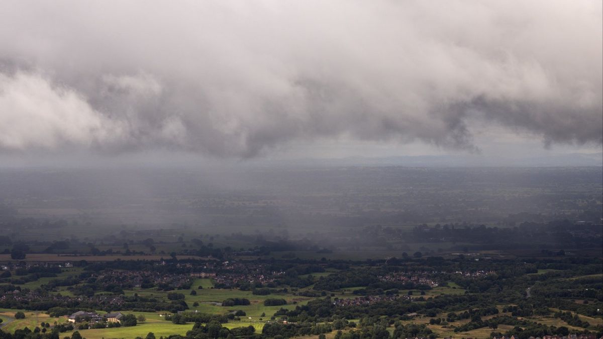
Further north, the Met Office updated an existing yellow weather warning affecting northern Scotland. Northern Ireland and central Scotland were removed from the warning zone after conditions improved. The remaining alert covers seven areas: Aberdeenshire, Moray, Eilean Siar, Highland, Orkney Islands, Shetland Islands, and Argyll and Bute. Strong west to southwesterly winds are expected to continue across the region, with gusts reaching 45-55 mph quite widely and up to 70 mph in coastal or exposed areas in the far north. This northern warning is set to conclude at 6 pm on Tuesday.
National weather experts have warned of significant impacts stemming from the severe weather. Chief Forecaster Neil Armstrong stated, according to reporting, that the system marks the first stormy weather in the south of the season.
Armstrong added that with trees still in leaf, fallen branches and trees could obstruct roads and railways, urging extra care during the Friday morning commute."We’ve updated Amber and Yellow severe weather warnings for Storm Austen. This is the first stormy weather in the south of the UK this season and we expect some disruption as it moves through."
Neil Armstrong, Chief Forecaster, via LADbible
Deputy Chief Forecaster Tom Crabtree also commented on the evolving situation, noting the challenges in tracking the system.
Crabtree added that weather warnings remain under constant review and could be updated as confidence increases."While the exact track and position of Storm Austen is still being determined, what's clear is that we have an impactful period of weather on the way and the potential for disruption in places, which has resulted in the system being named."
Tom Crabtree, Deputy Chief Forecaster, via Daily Star
The hazardous conditions carry risks to property and safety. The Met Office warned that flying debris is likely and could cause injuries or present a danger to life. Damage to buildings is also probable, including tiles being blown from roofs. Power supplies and mobile phone coverage may be affected, with authorities advising households to gather essential items such as torches, batteries, and mobile phone power packs. Residents in affected areas are urged to secure outdoor items, including bins, garden furniture, trampolines, tents, sheds, and fences, to prevent them from becoming dangerous in the howling gales.
Travel disruption is widely anticipated. Road, rail, air, and ferry services face potential delays and cancellations, while major roads and bridges could be forced to close. Coastal areas face distinct hazards, with large waves and beach material thrown onto seafronts, coastal roads, and properties. The Met Office warned that even large breaking waves from the shore can sweep people off their feet and out to sea. Individuals visiting the coast or walking near cliffs are advised to know their route, keep dogs on a lead, and call 999 and ask for the Coastguard in an emergency.
Looking ahead, the weather picture remains active. Following the passage of Storm Austen, the Met Office has forecast that a subsequent system, Storm Boelo, will impact Northern Ireland, Scotland, and northern England over the weekend. Driven by a powerful jet stream crossing the Atlantic, Storm Boelo is expected to bring heavy rain and winds reaching 55-65 mph generally, with gusts of 70-80 mph possible in exposed coastal areas and high ground. A yellow wind warning for that system is set to remain in force from 6 pm Saturday until 9 pm Sunday, and residents are advised to keep up to date with local forecasts as conditions continue to develop.
How significant is this development?
Contribute your assessment to the aggregated reader sentiment ledger.
Frequently Asked Questions
Key questions answered in this reportWhat is the key development in: Met Office issues danger to life warning as Storm Austen brings 80mph winds?
The Met Office has issued a rare amber warning as Storm Austen hits the UK with 80mph gusts, threatening power cuts and other disruptions.
Why is this Weather development significant for the UK?
This report covers critical events in our Weather beat. Independent reporting monitors related UK statements, regulatory shifts, and public responses as further verified details emerge.
How was this reporting corroborated and verified?
Newsarchy UK compiles and cross-references reporting from primary reporting from AOL.com and cross-checked wire reports. All coverage adheres to published editorial standards.
When was this report published?
This briefing was published on October 27, 2026 and is permanently cataloged in the Newsarchy UK Weather archives.