Flood Warnings: 30 Areas Of The UK Vulnerable To Flooding This Week
Saturated ground and rising groundwater leave roughly 30 areas vulnerable to flooding this week, prompting multi-agency responses and warnings.

- Core Development: Saturated ground and rising groundwater leave roughly 30 areas vulnerable to flooding this week, prompting multi-agency responses and warnings.
- Beat Context: Categorized under Weather with independent corroboration.
- Reporting Depth: 3 minute analytical read synthesized from verified newsroom sources.
Vulnerable communities across the United Kingdom face heightened flood risks this week as saturated ground, rising groundwater, and lingering extreme weather impacts continue to strain regional drainage networks and river catchments. Following successive turbulent weather systems, dozens of designated areas remain exposed to rising waters, prompting multi-agency responses, ongoing pumping operations, and active warnings from environmental authorities.
The compounding effects of recent heavy downpours have left rural fields, suburban gardens, and low-lying valleys in a precarious state. According to reporting from Countryliving, around 30 named rivers, valleys, towns, and coastal areas across southern and central England are affected as yellow rain alerts prompt renewed vigilance. In flat, low-lying regions such as the Somerset Levels, floodwater drains exceptionally slowly once the ground reaches saturation. Areas surrounding Langport and Muchelney frequently remain waterlogged for days or weeks after precipitation ceases, keeping farmland and local tracks submerged.
Media additions

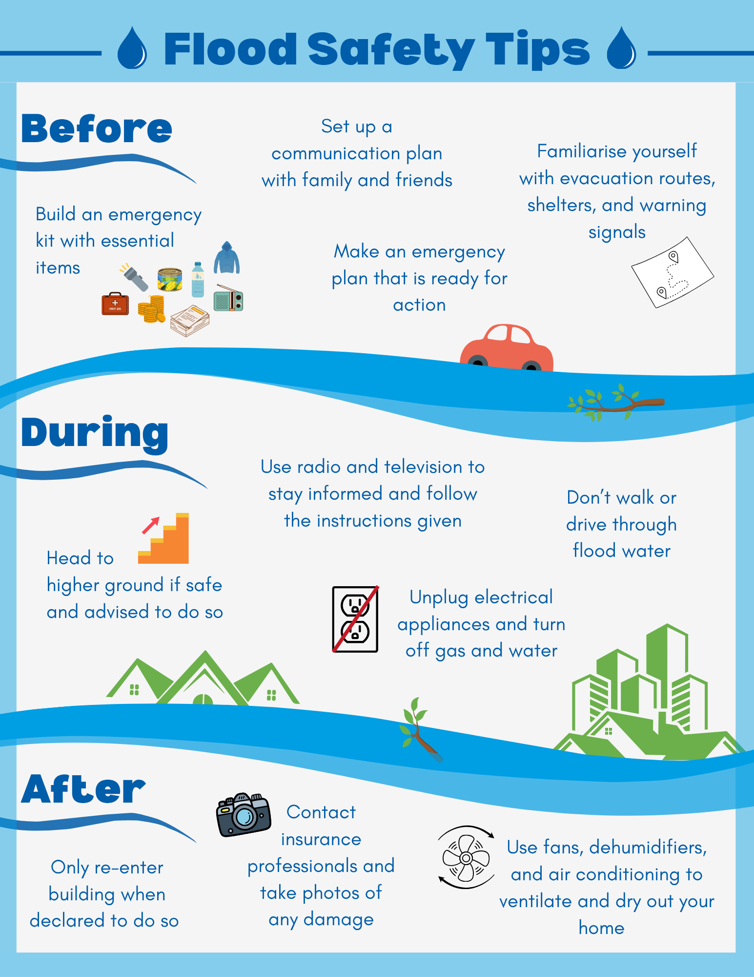

In chalk landscapes, the mechanism of flooding differs markedly from surface run-off. Prolonged rainfall gradually elevates groundwater levels across parts of Wiltshire and Dorset—affecting catchments around the Wylye, Ebble, Avon, Bourne, and Piddle, as well as Cranborne Chase and the South Wiltshire Downs—where inundation emerges slowly and persists for extended periods. Meanwhile, communities adjacent to major river catchments including the Parrett, Yeo, Frome, Stour, Itchen, Arun, Derwent, Meon, Hamble, and Nene remain under close observation. Low-lying areas near riverbanks in Salisbury, Dorchester, Pulborough, and east of Peterborough face heightened exposure. Along the south coast, spring tides combining with strong winds push seawater inland, threatening seafront areas on Hayling Island and the Isle of Wight around the Eastern Yar.
Official emergency management has shifted across regions depending on localized severity. Gov reported that while general weather conditions have grown more settled following earlier disruptions, ongoing river flooding impacts remain probable along major watercourses such as the River Severn. Environment Agency personnel continue operating round the clock to clear debris from trash screens and deploy temporary barriers. Similarly, local resilience forums have coordinated multi-agency responses in northern regions like Cumbria, where heavy and prolonged rainfall previously challenged transport networks and prompted travel warnings.
| Region / Authority | Key Affected Locations | Response Phase / Status |
|---|---|---|
| Somerset Levels and Moors | Langport, Muchelney, Saltmoor, Northmoor, Currymoor | Recovery phase following major incident declaration |
| Southern & Central England | Salisbury, Dorchester, Pulborough, Peterborough east | Active flood warnings and groundwater monitoring |
| Cumbria & Northern England | Cockermouth, River Severn catchments | Multi-agency standby and ongoing river barrier deployment |
The operational burden extends to municipal infrastructure and residential property management. Somerset Council noted that while conditions eventually improved enough to stand down a major incident and transition into recovery, pumping operations remain a delicate balancing act. Removing water too rapidly from one saturated moor risks exacerbating flood hazards downstream.
Property owners and tenants seeking to verify their exposure can utilize national risk assessment tools. Residents in England can consult the Environment Agency flood guidance, while those in Wales, Scotland, and Northern Ireland access tailored regional portals through Natural Resources Wales, the Scottish Environment Protection Agency, and NI Direct respectively.
What to Watch Next
- Monitor local river gauge levels and Environment Agency flood alerts for sudden changes driven by unsettled weekend forecasts.
- Observe upcoming multi-agency recovery briefings across the Somerset Levels and Moors regarding ongoing high-volume pumping schedules.
- Check regional transport updates before traveling through low-lying valleys and coastal roads subject to temporary emergency gate closures.
How significant is this development?
Contribute your assessment to the aggregated reader sentiment ledger.
Frequently Asked Questions
Key questions answered in this reportWhat is the key development in: Flood Warnings: 30 Areas Of The UK Vulnerable To Flooding This Week?
Saturated ground and rising groundwater leave roughly 30 areas vulnerable to flooding this week, prompting multi-agency responses and warnings.
Why is this Weather development significant for the UK?
This report covers critical events in our Weather beat. Independent reporting monitors related UK statements, regulatory shifts, and public responses as further verified details emerge.
How was this reporting corroborated and verified?
Newsarchy UK compiles and cross-references reporting from primary reporting from Somerset Council and cross-checked wire reports. All coverage adheres to published editorial standards.
When was this report published?
This briefing was published on September 30, 2026 and is permanently cataloged in the Newsarchy UK Weather archives.


