South of England braces for 70mph winds from Storm Austen
Storm Austen brings strong winds and heavy rain to the south of England, prompting weather warnings, transport cancellations, and safety preparations.

Communities across the south of England are taking urgent precautions as Storm Austen arrives with forecasts of 70mph winds and heavy downpours.
The arrival of Storm Austen marks the beginning of a turbulent period for the region, according to the Met Office, which has issued a series of wind and rain warnings. The system is set to bring widespread disruption to transport, power supplies, and local events as gale-force gusts sweep across the coast and inland areas.
Media additions


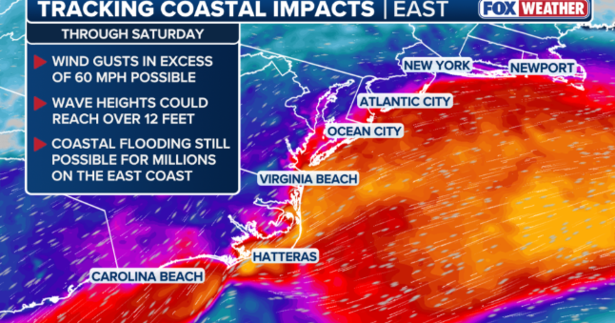
The BBC reported that the Met Office issued a yellow weather warning for wind covering Dorset, the Isle of Wight, and parts of Hampshire, coming into effect at midnight, while northern Hampshire, Berkshire, and Oxfordshire fell under a separate warning starting later in the morning. Inland gales reaching up to 55mph are expected in areas away from the immediate coast.
Emergency services and utility providers have mobilized ahead of the impact. SSEN, which manages the electricity network across central southern England, announced it entered weather warning status
in anticipation of widespread power cuts. The Hampshire and Isle of Wight Fire and Rescue Service urged residents to bring loose outdoor items inside, warning that everyday objects can transform into dangerous projectiles
in high winds. Residents were also advised to avoid parking under trees, keep mobile phones charged, and carry torches, while anyone discovering damaged electrical equipment was urged to stay back and contact the provider on 105.
Transport networks have experienced immediate cancellations and alterations. Wightlink cancelled multiple sailings across its routes, though the operator added an extra service from Lymington to Yarmouth to assist travellers prior to the peak weather. Brittany Ferries also cancelled evening sailings from Portsmouth to Guernsey and rescheduled subsequent crossings. On the roads, Dorset Council warned that Portland Beach Road and the causeway faced potential overnight closures due to the risk of flooding and waves overtopping, with the highest risk anticipated between 03:00 and 08:00. The Met Office also warned that large waves and beach material thrown onto seafronts, coastal roads, and properties could cause injuries and pose a danger to life.
Local institutions and event organizers adjusted schedules across the region. Glenwood School in Emsworth announced a closure due to safety risks posed to staff and pupils. An outdoor cinema screening of horror films at Robin Hill on the Isle of Wight was called off, and a Diwali event in Reading town centre was rescheduled. Minterne House and Gardens also announced the closure of its gardens for safety reasons, and the Isle of Wight Council asked residents to avoid putting their bins out the night before collection to prevent them from blowing over and obstructing roads and paths.
The wider meteorological picture reveals that Storm Austen is only the first phase of an active spell. According to the BBC, the Met Office has already named Storm Boelo to follow hot on the heels of Austen over the weekend, bringing further wet and windy weather nationwide.
| Area / Warning Zone | Warning Type | Active Period | Forecast Wind Gusts |
|---|---|---|---|
| Isle of Wight / Solent | Rain and Wind | Monday evening to Tuesday afternoon | Up to 70mph |
| Cornwall, Isles of Scilly, Plymouth, Devon | Amber Wind | Friday, 1am to 10am | 60–70mph (isolated 80mph) |
| Dorset, Isle of Wight, parts of Hampshire | Yellow Wind | Friday midnight to 5pm | 50–60mph (70mph exposed) |
| Northern Hampshire, Berkshire, Oxfordshire, Reading | Yellow Wind | Friday, 10am to 9pm | 45–55mph |
Coastal safety has emerged as a major priority as storm conditions peak. Ross Macleod, water safety manager for the RNLI, advised the public to maintain a safe distance from waterside locations.
"If you plan to visit the coast or a waterside location, we urge you stay a safe distance from the water as conditions could knock you off your feet or wash you into the sea"
Ross Macleod, water safety manager, via BBC
For those caught in trouble, the RNLI recommends the "float to live" method by lying back and extending limbs, while bystanders witnessing danger should use the "phone, float, throw" protocol.
What to watch next
- Monitor updated warnings from the Met Office as Storm Austen clears and Storm Boelo approaches over the weekend.
- Check local council channels and transport operators for ongoing road closures, ferry timetable adjustments, and rail delays.
- Stay clear of damaged electrical infrastructure and report hazards directly to local network providers.
Further updates on the developing weekend weather are available through our dedicated weather coverage.