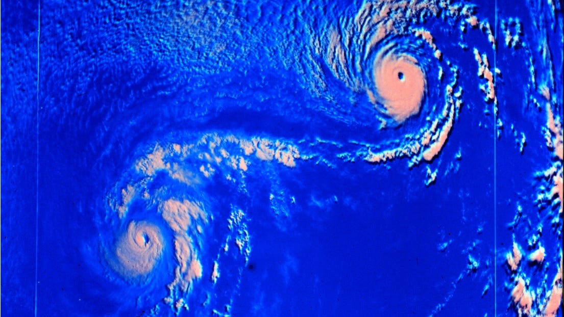
Typhoon Dolphin hits Japan's Okinawa, China shuts ports ahead of landfall
Typhoon Dolphin has battered Japan's Okinawa prefecture, injuring five people, before tracking toward China where authorities have shut major ports and suspended flights.
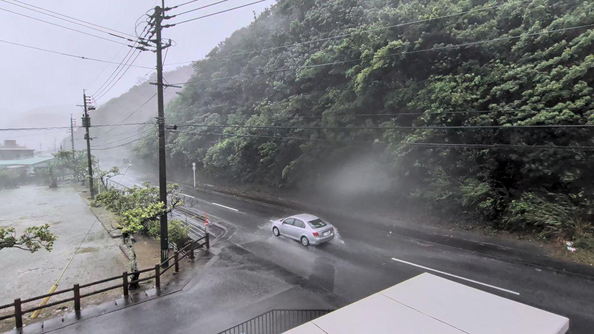
- Core Development: Typhoon Dolphin has battered Japan's Okinawa prefecture, injuring five people, before tracking toward China where authorities have shut major ports and suspended flights.
- Beat Context: Categorized under World with independent corroboration.
- Reporting Depth: 3 minute analytical read synthesized from verified newsroom sources.
Typhoon Dolphin has battered Japan's southern Okinawa prefecture, leaving five people injured and knocking out power to thousands of buildings before tracking across the ocean toward mainland China, where authorities have ordered sweeping port closures and flight suspensions.
According to Gmanetwork reporting, the storm was positioned northwest of Kume Island in Okinawa, moving northwestward. Domestic airlines including ANA and Japan Airlines scrambled to cancel flights across the region as winds whipped across Okinawa and Amami island in Kagoshima prefecture. Five elderly residents suffered non-life-threatening injuries, with three taking falls directly caused by the fierce winds, the Okinawan prefectural government reported. The Japan Meteorological Agency recorded maximum sustained winds alongside severe gusts, while Ibtimes noted that earlier tracking by FOX Weather placed the storm near Kadena Air Base.
Media additions

The system's unusual trajectory has complicated forecasting models. NMC chief forecaster Dong Lin explained that the typhoon followed an uncommon path after forming west of the International Date Line and traversing a long distance across the Pacific. Weakened steering currents caused by a split in the subtropical high, combined with interactions involving westerly troughs, ridges, and multiple tropical systems, have left the exact landfall zone difficult to pinpoint.
China's National Meteorological Center issued a yellow typhoon alert as the storm approached. Forecasters project landfall somewhere along China's eastern and southern coastline between Shanghai and Fuqing in Fujian Province—most likely spanning from Zhoushan city in Zhejiang to Fuding city in Fujian. The U.S. Embassy in Beijing also issued a public weather advisory warning of the impending coastal impact.
Preparations across coastal provinces intensified rapidly. Zhejiang province escalated its coastal typhoon alert to the highest level, halting port operations and suspending 162 passenger ferry routes. Ningbo Lishe International Airport announced a complete halt to operations, while Shanghai's Yangshan port cleared out vessels entirely ahead of the severe weather. Rail services in the Yangtze River Delta face imminent suspension.
Tensions have also flared over maritime jurisdiction in the Taiwan Strait. China ordered ships traversing the strait to follow its traffic control instructions—a directive that Taipei swiftly denounced as ridiculous, asserting that Beijing holds no authority to restrict access to international waters. Both Taipei and Washington reject China's territorial claims over the democratic island and the strategic strait.
Meanwhile, Taiwan recorded dozens of canceled international flights as heavy rains began drenching northern areas.
Forecasters warn that the hazards will persist long after initial landfall. The Ministry of Water Resources has forecasted rising water levels across major river basins, including the Pearl, Yangtze, and Yellow River basins, alongside the Taihu Lake area. Authorities cautioned that flash floods and mountain torrents pose severe risks to small and medium-sized rivers.
Projected Impacts and Weather Timeline
- August 9–10: Expected landfall window along China's eastern coast between Shanghai and Fuqing.
- August 12: Rain and strong winds expected to impact eastern China, including Shanghai and neighboring provinces, with some areas of Zhejiang projected to receive massive rainfall totals exceeding 600 mm.
- August 12–14: Remnants of the storm interacting with colder air, threatening renewed heavy rainfall across northern and northeastern China.
As the region braces for disruption, the ongoing World coverage continues to track extreme weather events and geopolitical fallout across Asia.
How significant is this development?
Contribute your assessment to the aggregated reader sentiment ledger.
Frequently Asked Questions
Key questions answered in this reportWhat is the key development in: Typhoon Dolphin hits Japan's Okinawa, China shuts ports ahead of landfall?
Typhoon Dolphin has battered Japan's Okinawa prefecture, injuring five people, before tracking toward China where authorities have shut major ports and suspended flights.
Why is this World development significant for the UK?
This report covers critical events in our World beat. Independent reporting monitors related UK statements, regulatory shifts, and public responses as further verified details emerge.
How was this reporting corroborated and verified?
Newsarchy UK compiles and cross-references reporting from primary reporting from gmanetwork.com and cross-checked wire reports. All coverage adheres to published editorial standards.
When was this report published?
This briefing was published on August 8, 2026 and is permanently cataloged in the Newsarchy UK World archives.