Buffalo and Watertown face heavy lake-effect snow through mid-week
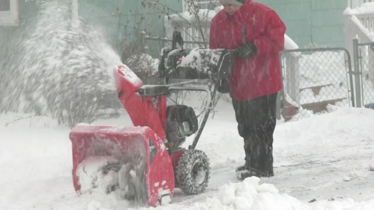
Western and Central New York are under Winter Storm Warnings as a multi-day lake-effect snow event begins. Forecasts indicate heavy accumulation through Wednesday, with up to four feet possible in some areas.
- Core Development: Western and Central New York are under Winter Storm Warnings as a multi-day lake-effect snow event begins. Forecasts indicate heavy accumulation through Wednesday, with up to four feet possible in some areas.
- Beat Context: Categorized under Weather with independent corroboration.
- Reporting Depth: 3 minute analytical read synthesized from verified newsroom sources.
Residents across Western and Central New York are bracing for an extended period of disruptive weather as lake-effect snow systems begin to develop. Winter Storm Warnings are currently in effect, signaling the onset of a multi-day event that is expected to intensify from Sunday night into the coming week.
Timeline of the approaching winter storm
According to regional meteorological reports, the weather progression is expected to unfold in several distinct phases:
Media additions


- Sunday night into Monday morning: A concentrated band of snow is forecast to intensify. Driven by south-southwesterly winds, this band will initially impact the Niagara Frontier and the Northtowns.
- Monday afternoon and evening: An arctic cold front is expected to move through the area, forcing the snow band southward. While the exact timing remains subject to change, forecasters anticipate this shift occurring late in the day.
- Monday night into Tuesday: The lake-effect activity will persist but will focus primarily south of the city, targeting the Southtowns and Southern Erie County.
- Tuesday into Wednesday: A clipper system is projected to reach the metro area, introducing a separate round of snow. Simultaneously, lake-effect snow will continue to produce steady accumulation in Jefferson, Lewis, and Oswego counties.
Accumulation estimates suggest a broad impact across the region. Current forecasts anticipate 8-10"+ of snow, with isolated areas potentially receiving between 1-2ft of accumulation through Wednesday. The most severe conditions are expected in Jefferson, Lewis, and Oswego counties, where total accumulations of two-to-four feet are possible by the middle of the week.
Broader context for severe weather awareness
The current activity in New York coincides with diverse severe weather patterns across the globe. In the United States, recent reports identify active severe thunderstorm warnings and flash flooding in regions including Missouri, Kansas, and Kentucky. Some of these storm systems have produced wind gusts reaching 70 mph.
International conditions are similarly volatile. In Taiwan and China, Typhoon Bavi has been forecast to deliver heavy rainfall and powerful wind gusts. Meanwhile, in the United Kingdom, recent storm systems resulted in yellow weather warnings. Coastal areas of England and Wales experienced significant disruptions as winds reached speeds of 78 mph at the Needles on the Isle of Wight. These events led to widespread power outages and forced the closure of various transport services and attractions, including St Michael’s Mount.
Meteorological experts emphasize the importance of preparedness, particularly regarding the warning infrastructure. The standard alert chain relies on the National Weather Service, the Emergency Alert System, and Wireless Emergency Alerts. For those in high-risk zones, such as areas prone to tornadoes, a weather radio equipped with battery backup is recommended as a vital safety tool, especially for overnight alerts. In the Southeast United States, where tornado activity has shown an eastward and southward migration, the danger of nighttime storms is particularly acute, as a large proportion of these events occur when residents are asleep.
What to watch next
As the lake-effect system develops throughout the week, authorities advise residents in New York to monitor local updates for any shifts in the storm's trajectory. For broader severe weather tracking, observers continue to monitor real-time data feeds and live mapping services that aggregate information from NOAA, the Storm Prediction Center, and global meteorological networks.
How significant is this development?
Contribute your assessment to the aggregated reader sentiment ledger.
Frequently Asked Questions
Key questions answered in this reportWhat is the key development in: Buffalo and Watertown face heavy lake-effect snow through mid-week?
Western and Central New York are under Winter Storm Warnings as a multi-day lake-effect snow event begins. Forecasts indicate heavy accumulation through Wednesday, with up to four feet possible in some areas.
Why is this Weather development significant for the UK?
This report covers critical events in our Weather beat. Independent reporting monitors related UK statements, regulatory shifts, and public responses as further verified details emerge.
How was this reporting corroborated and verified?
Newsarchy UK compiles and cross-references reporting from primary reporting from the-world-now.com and cross-checked wire reports. All coverage adheres to published editorial standards.
When was this report published?
This briefing was published on July 10, 2026 and is permanently cataloged in the Newsarchy UK Weather archives.