Met Office issues yellow rain warnings as unsettled weather hits UK
A shift in weather patterns is bringing heavy rain, strong winds, and thunderstorm risks to parts of the UK, prompting multiple yellow weather warnings.
- Core Development: A shift in weather patterns is bringing heavy rain, strong winds, and thunderstorm risks to parts of the UK, prompting multiple yellow weather warnings.
- Beat Context: Categorized under Weather with independent corroboration.
- Reporting Depth: 3 minute analytical read synthesized from verified newsroom sources.
The United Kingdom is experiencing a period of turbulent weather as a series of low-pressure systems move in from the Atlantic. This transition to an unsettled pattern brings a mix of heavy rain, strong winds, and the threat of thunderstorms, impacting travel and daily routines across the country. The shift follows a period that had been mostly dry, marking a definitive end to the recent calm for many regions.
Current warnings and immediate impacts
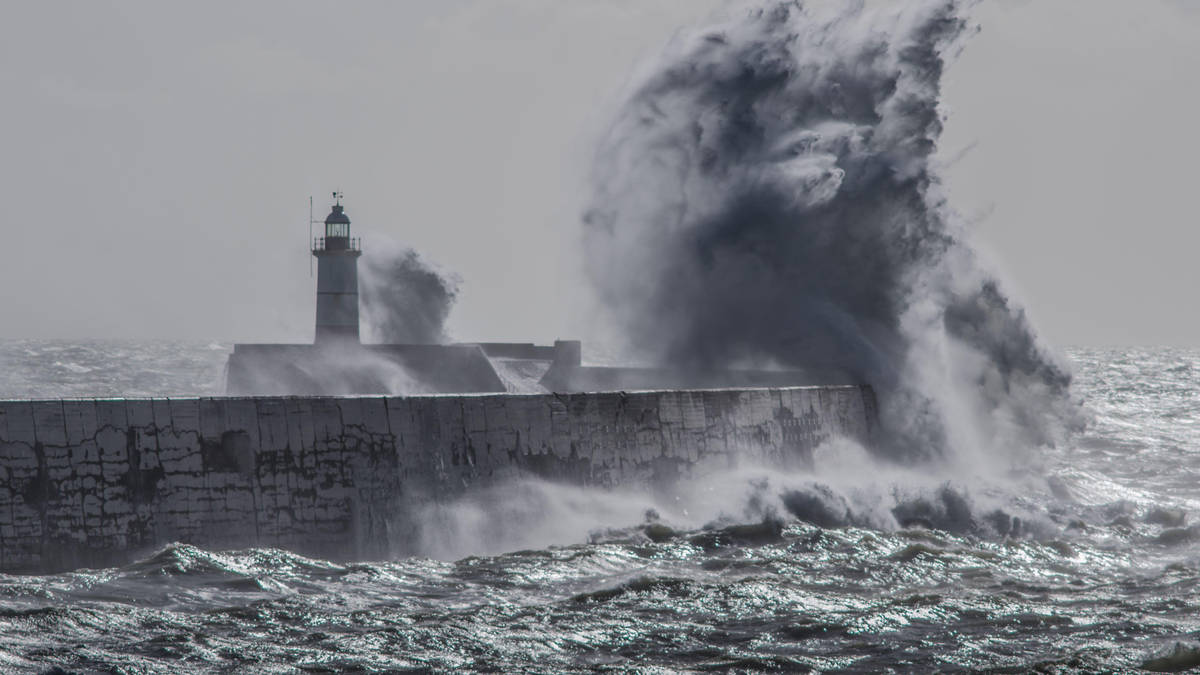
The Met Office has implemented several yellow weather warnings across the UK. Large portions of England and Wales were under a wind alert, which came into effect at 8pm on Sunday and remained active until 6pm on Monday. Residents in these areas experienced significant gusts, with some coastal locations, including the Isle of Wight, recording wind speeds reaching 78mph. The affected zone spanned from North Yorkshire and Lancashire down through the Midlands, London, and the entirety of Wales and the South of England.
Media additions


Meteorologists have cautioned that while the overall impact may be considered low in general terms, the high winds brought a tangible risk of power interruptions and travel delays. Forecasters warned that gales were likely across most of England and Wales, with the most severe conditions concentrated on the Irish Sea coasts and parts of North West England.
"It will be quite a windy start to the week. Gales are certainly possible for many parts of England and Wales, perhaps even severe gales on Irish Sea coasts."
Tom Morgan, Meteorologist, via iNews and Yahoo News
Midweek outlook: The threat of flooding
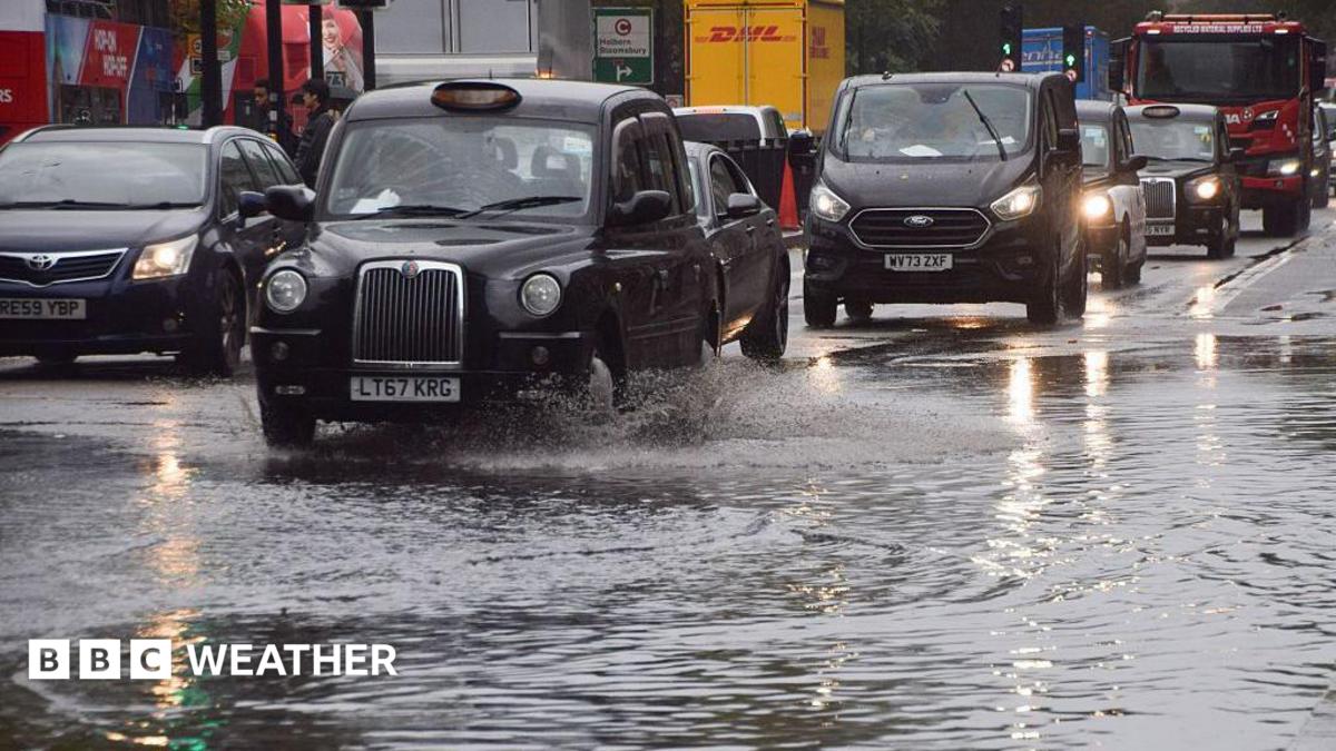
The weather instability is expected to continue into the middle of the week. A yellow warning for rain has been issued for parts of southwest England and south Wales, running from midnight until 2pm on Wednesday. Rainfall totals for this period are expected to reach 20-30mm widely, with 40-60mm possible in some areas over a 6-to-9-hour period. In South Wales, officials anticipate 15-25mm of rain, increasing to 30-40mm over south-facing hills.
The Met Office has warned of the risk of localised flooding. As ground conditions have become saturated over recent weeks, additional rainfall is more likely to result in surface water accumulation. Residents are being urged to:
- Secure loose items such as garden furniture, bins, and fences.
- Check for road closures or potential transport delays before travelling.
- Prepare for potential power outages by gathering torches, batteries, and other essential items.
- Review flood plans if residing in high-risk areas.
"We’re expecting a band of heavy rain and strong winds to move northeast through the first part of Wednesday, followed by heavy showers and the risk of thunderstorms. Some of these could bring hail and gusty winds, particularly in southern areas."
Rebekah Hicks, Chief Meteorologist, via Met Office
Long-term conditions and shifting patterns
Looking ahead to the remainder of the week, the atmosphere is set to remain changeable. Thursday is expected to bring widespread showers and the occasional thunderstorm, with persistent rain likely in parts of western Scotland. Temperatures are predicted to stay around the seasonal average, generally in the high teens to low 20s. By Friday, southern areas may see more settled, brighter conditions, though the northwest is expected to remain wet and windy, with a small chance of coastal gales.
The unsettled weather follows a recent period of high solar activity, which provided opportunities to observe the aurora borealis as far south as Dorset. While viewers in northern Scotland may still have restricted opportunities to see the phenomenon as intensity wanes, the primary focus for the nation remains the incoming low-pressure systems.
For those in affected regions, the Met Office advises staying updated via official apps and social media channels. With the ground already wet, the upcoming days require ongoing vigilance for those in low-lying areas or regions prone to travel disruption.
How significant is this development?
Contribute your assessment to the aggregated reader sentiment ledger.
Frequently Asked Questions
Key questions answered in this reportWhat is the key development in: Met Office issues yellow rain warnings as unsettled weather hits UK?
A shift in weather patterns is bringing heavy rain, strong winds, and thunderstorm risks to parts of the UK, prompting multiple yellow weather warnings.
Why is this Weather development significant for the UK?
This report covers critical events in our Weather beat. Independent reporting monitors related UK statements, regulatory shifts, and public responses as further verified details emerge.
How was this reporting corroborated and verified?
Newsarchy UK compiles and cross-references reporting from primary reporting from aol.com and cross-checked wire reports. All coverage adheres to published editorial standards.
When was this report published?
This briefing was published on July 13, 2026 and is permanently cataloged in the Newsarchy UK Weather archives.