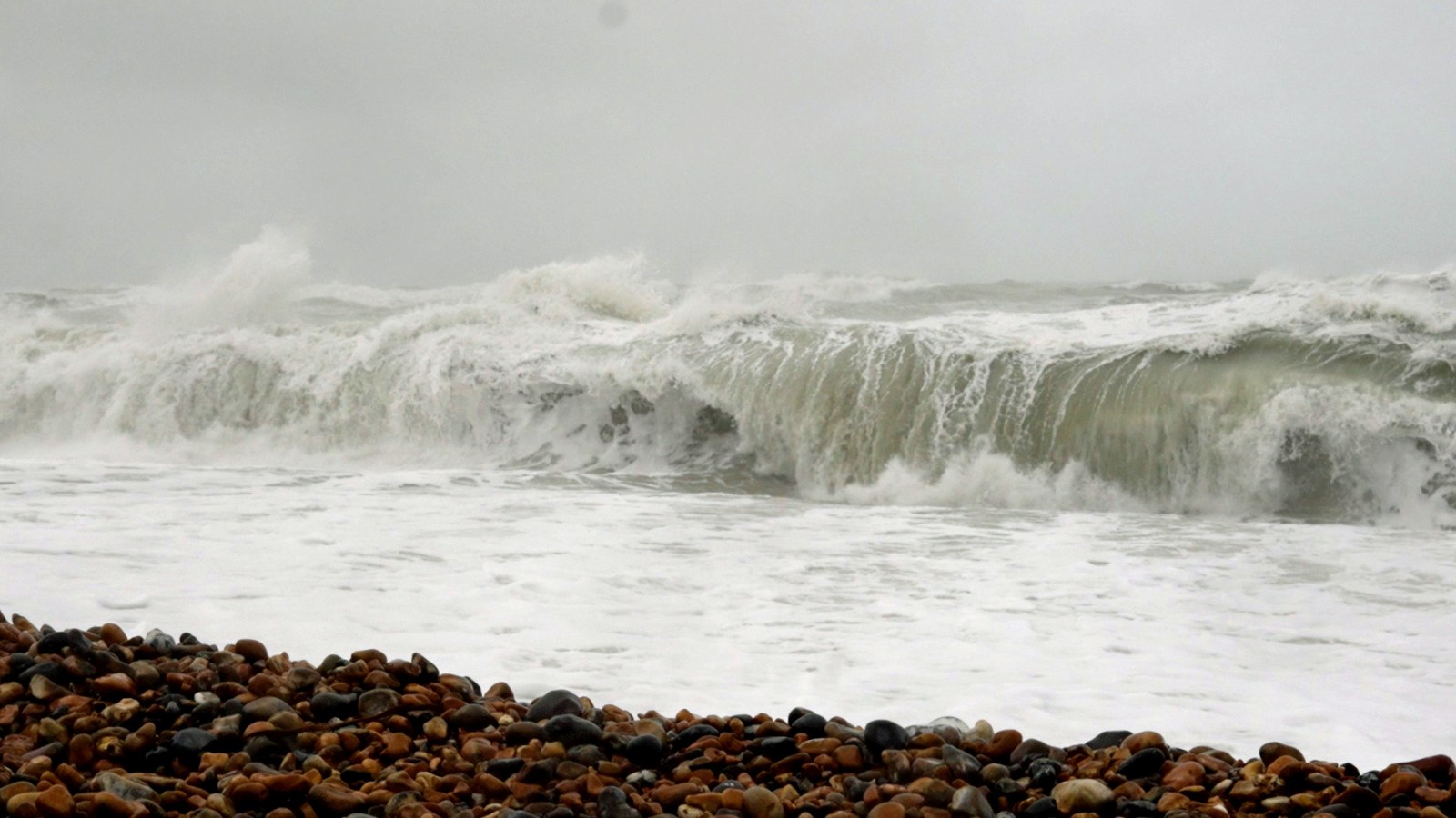
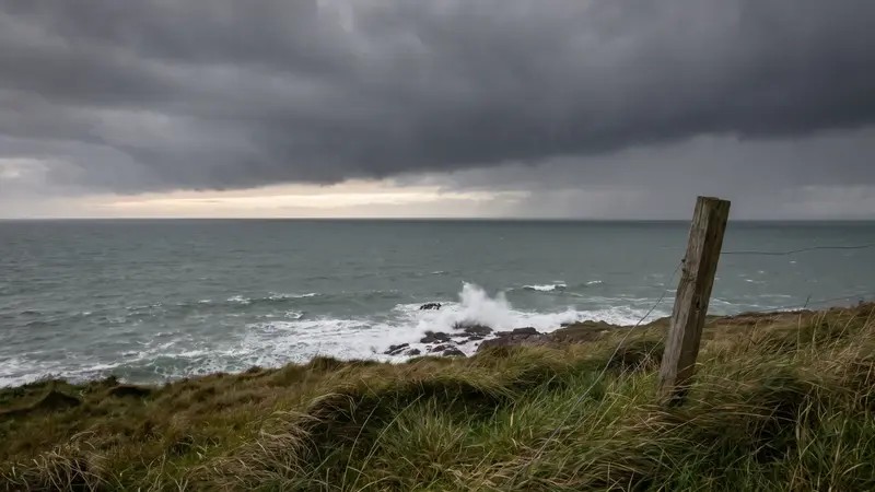
Storm Bram triggers danger to life warnings as 90mph winds hit the UK
Storm Bram is causing severe weather across the UK, bringing gale-force winds and heavy rain that have triggered danger-to-life warnings and travel disruption.
- Core Development: Storm Bram is causing severe weather across the UK, bringing gale-force winds and heavy rain that have triggered danger-to-life warnings and travel disruption.
- Beat Context: Categorized under Weather with independent corroboration.
- Reporting Depth: 3 minute analytical read synthesized from verified newsroom sources.
A severe weather event, designated Storm Bram, is currently impacting the United Kingdom, bringing gale-force winds and significant rainfall that have prompted authorities to issue danger-to-life warnings. The country is navigating the consequences of this low-pressure system, which has been formally named by the Irish forecasting agency, Met Eireann, due to the intensity of its impact in the region.
The situation has necessitated immediate precautions across multiple sectors. According to reporting by the Daily Mail, residents in affected areas, particularly in Devon, Cornwall, and South Wales, have been urged to secure outdoor items and move vehicles away from trees or buildings. The threat posed by winds reaching speeds of up to 90mph in parts of northwest Scotland has led to the issuance of danger-to-life alerts for areas including Na h-Eileanan Siar, Highland, and Argyll and Bute.
Impact and Regional Alerts
The storm is bringing heavy precipitation to ground that is already saturated from previous autumn and winter downpours. In South Wales, multiple towns have been identified as high-risk zones for residential and commercial flooding. Charlotte Morgan, Duty Tactical Manager for Natural Resources Wales, has advised the public to remain vigilant, specifically warning against the dangers of entering floodwater, whether on foot or by vehicle, as the depth and contents of the water remain unpredictable.
The environmental authorities are managing a high volume of alerts and warnings. In England and Wales combined, scores of active flood alerts and warnings are in place, reflecting the breadth of the storm's reach. The impact is not limited to land; travel networks across the country are facing disruptions, affecting ferry services, buses, and trains, with high-sided vehicles on exposed bridges being particularly vulnerable to the extreme winds.
"Storm Bram will bring a very wet and windy spell of weather, with very strong winds and further heavy rain which falling over saturated ground, could cause flooding impacts."
Dan Suri, Met Office Chief Forecaster, via Daily Mail
Safety Preparations
The Met Office has provided detailed guidance for the public to mitigate risks during the storm. Recommendations include:
- Securing garden furniture, ladders, and any loose outdoor objects that could become airborne.
- Closing and securely fastening windows and doors, especially those facing the direction of the wind.
- Preparing a "flood kit" for emergency use, which should contain warm clothing, food, water, a torch, a mobile phone charger, and blankets.
- Moving valuable possessions to higher levels within homes and relocating vehicles to higher ground where possible.
These measures are intended to reduce the risk of structural damage and ensure personal safety during what is expected to be an extended period of unsettled weather.
What to Watch Next
The immediate threat from Storm Bram is expected to persist through mid-week, with various wind and rain warnings remaining in effect until Wednesday. Beyond the current storm, the long-range outlook from the Met Office indicates a continuation of unsettled conditions throughout the remainder of December. Low-pressure systems are expected to dominate, bringing further periods of rain and strong winds. While some drier spells may occur, forecasters have emphasized that the duration and timing of these windows remain highly uncertain. Regarding the possibility of wintery conditions later in the month, meteorologists have noted that it is currently too early to confirm specific weather patterns for the Christmas period.
Those planning travel or concerned about local infrastructure should continue to check the latest bulletins issued by regional environment agencies and the national meteorological service to receive the most current information regarding flood risks and transport disruption.
How significant is this development?
Contribute your assessment to the aggregated reader sentiment ledger.
Frequently Asked Questions
Key questions answered in this reportWhat is the key development in: Storm Bram triggers danger to life warnings as 90mph winds hit the UK?
Storm Bram is causing severe weather across the UK, bringing gale-force winds and heavy rain that have triggered danger-to-life warnings and travel disruption.
Why is this Weather development significant for the UK?
This report covers critical events in our Weather beat. Independent reporting monitors related UK statements, regulatory shifts, and public responses as further verified details emerge.
How was this reporting corroborated and verified?
Newsarchy UK compiles and cross-references reporting from primary reporting from dailymail.co.uk and cross-checked wire reports. All coverage adheres to published editorial standards.
When was this report published?
This briefing was published on July 6, 2026 and is permanently cataloged in the Newsarchy UK Weather archives.