Met Office warns of record-breaking heatwaves and heavy rain warnings
The Met Office warns of persistent heavy rainfall in parts of Scotland, while England and Wales experience warm spells and intense marine heatwave conditions.

The United Kingdom currently experiences a stark divergence in weather conditions as the Met Office warns of a persistent north-south split. While southern and eastern regions prepare for rising temperatures and the potential for locally hot spikes, large portions of the country remain under weather warnings for heavy, persistent rainfall. This contrast follows a period of extreme heat that dominated the latter half of June, which has since prompted hospital investigations into the health impacts of such temperatures and renewed concerns regarding the rapid warming of surrounding seas.
The North-South Divide
As of Saturday, 4 July 2026, forecasters have identified a weather pattern bringing torrential downpours to at least 19 regions. According to Met Office meteorologist Aidan McGivern, the most persistent and intense rainfall is concentrated across the West Highlands of Scotland. Projections indicate that the Western Highlands could see accumulations exceeding 100mm by the end of the weekend. In contrast, eastern parts of Scotland are expected to benefit from a rain-shadow effect, remaining largely drier and brighter. Much of England and Wales is forecast to experience warm, sunny spells with temperatures climbing toward 30C, while Northern Ireland and parts of northern England contend with cloudier, breezier conditions and intermittent rain.
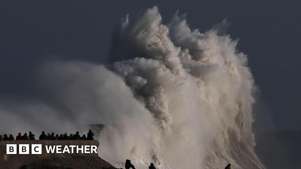
Media additions


Marine Heatwave Intensifies
Beyond the atmospheric conditions, the waters surrounding the UK are currently in a state of crisis. Northwest European seas are experiencing marine heatwave conditions, with many areas classified as "strong" or "severe." Surface temperatures are currently trending approximately 2°C above average, with some coastal locations seeing anomalies of +4-5°C. These conditions are the third and most intense marine heatwave recorded this year, according to Dr Ségolène Berthou, Air-Sea Interaction Specialist at the Met Office.
"Marine heatwaves around the UK have developed rapidly following the recent heat dome, and we are now seeing widespread strong to locally severe conditions. This is the third and most intense marine heatwave we have seen this year."
Dr Ségolène Berthou, Air-Sea Interaction Specialist, via Cambrian News
Experts warn that as settled, sunny weather returns next week, these sea surface temperatures may struggle to cool. There is a possibility that conditions could reach Category 4—an "extreme" level rarely recorded in British waters. This environmental shift carries risks for marine ecosystems, including potential damage to kelp and seagrass habitats, shifts in fish populations, and the increased likelihood of harmful algal blooms, according to Prof. John K. Pinnegar of CEFAS. Despite the high sea temperatures, officials caution that the water remains dangerous. It is vital for the public to understand that although sea-surface temperatures are currently well above average in many coastal locations, this does not avoid the risk of cold-water shock,
said Holly Clements, Met Office Head of Warnings and Guidance.
Records and Risks
The recent extreme heat has already had significant consequences. The James Paget Hospital in Gorleston is currently investigating the death of a patient on 27 June 2026, following a medical examiner's review that raised concerns regarding the potential impact of high temperatures. During that same period, thermometers reached 37.7C in Lingwood, a figure that, if verified, would represent the highest June temperature ever recorded in the UK.
Looking at the remainder of the summer, the Met Office notes that several long-standing records remain vulnerable. The current all-time UK temperature record of 40.3C, set in 2022 at Coningsby, is under scrutiny as forecasters monitor the potential for further heatwaves. Additionally, the UK could potentially approach its record for the longest heatwave, a milestone not seen since 1976.
What to Watch Next
- Rainfall in the North: Heavy rain is expected to continue across the Western Highlands and parts of Northern Ireland through the remainder of the weekend, with high pressure potentially extending northwards to bring drier conditions later in the week.
- Southeastern Temperatures: High pressure will dominate England and Wales, maintaining warm conditions with potential for locally hot spikes in the southeast, though not as extreme as the previous week.
- Marine Conditions: Continued surveillance of Category 2 and 3 marine heatwaves, which risk escalating to Category 4 "extreme" levels as temperatures remain elevated.
- Thunderstorm Risk: The Met Office advises that any warm spells through mid-July carry a risk of heavy, thundery showers, as weather patterns remain subject to unsettled interruptions.