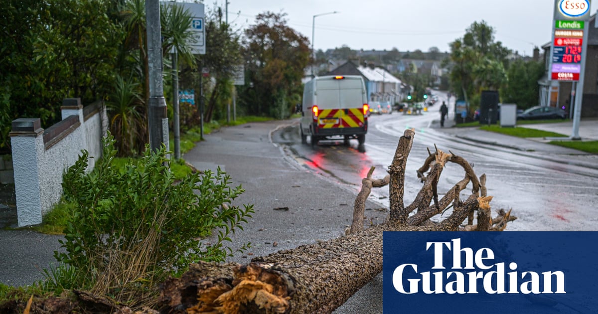
The overall flood risk for England and Wales is very low for next five days
Official reports indicate a stable outlook for river, sea, and surface water levels across England and Wales. Residents should use official portals to monitor.

- Core Development: Official reports indicate a stable outlook for river, sea, and surface water levels across England and Wales. Residents should use official portals to monitor.
- Beat Context: Categorized under Weather with independent corroboration.
- Reporting Depth: 3 minute analytical read synthesized from verified newsroom sources.
The overall flood risk for England and Wales remains very low for the next five days, according to current projections provided by the Flood Forecasting Centre. As of Saturday, 11 July 2026, the collaboration between the Environment Agency and the Met Office indicates a stable outlook for the region’s rivers, seas, and surface water levels.
This assessment is reflected across national monitoring networks. While flood risk is currently minimal, authorities maintain that individuals may still face long-term risks associated with rivers, the sea, surface water or groundwater. To monitor specific areas, residents are encouraged to Check For Flooding via the government’s dedicated portal, which provides updated assessments produced by environmental agencies.
Monitoring and Preparedness
The stability of the current outlook is supported by a comprehensive network of monitoring stations operated by the Environment Agency, Natural Resources Wales, and the Scottish Environment Protection Agency (SEPA). Independent services also track these metrics to provide localized insights; for instance, areas like Crayford in South East London report that official river stations on the River Cray remain within normal ranges, with no active flood warnings for the vicinity.
Despite the current low-risk status, official guidance emphasizes that the absence of a record does not mean a place has never flooded. Preparation remains a standard recommendation for those living in vulnerable areas. Residents are advised to:
- Review River Levels UK for data from monitoring stations.
- Utilize SEPA’s flood forecasting tools for information concerning Scotland.
- Familiarize themselves with the definitions of flood alerts and warnings to ensure readiness should conditions shift.
Context of Environmental Reporting
The current state of calm follows earlier periods of activity, particularly in Scotland, where flood alerts were issued for regions including Argyll and Bute, Caithness and Sutherland, and Wester Ross in early July. By 6 July 2026, those specific areas had largely returned to normal status. Such fluctuations highlight the importance of staying informed through the Floodradar service or other real-time data providers, as weather patterns can evolve rapidly.
While the focus in England and Wales is on a stable, low-risk environment, broader meteorological shifts can impact travel and infrastructure. Those navigating the transport network in urban centres like London are advised to monitor local traffic and bus route diversions, as managed by Transport for London.
What to Watch Next
For those living in or near areas with historical flood susceptibility, the following steps are recommended:
- Sign up for alerts: Most regional agencies offer free email or text notifications when water levels cross pre-defined thresholds.
- Review emergency plans: Maintain a checklist of valuables to move and utility shut-off procedures in the event of an emergency.
- Monitor official channels: The Flood Forecasting Centre updates its five-day outlook daily. Because weather-driven risks can change on short notice, checking these sources periodically is essential for informed decision-making.
As of this morning, the infrastructure and environmental monitoring systems across England and Wales report no immediate threats, providing a period of stability heading into the next week. Users should remain aware of their local geography, as the Environment Agency confirms that you may be at long term flood risk from rivers, the sea, surface water or groundwater.
How significant is this development?
Contribute your assessment to the aggregated reader sentiment ledger.
Frequently Asked Questions
Key questions answered in this reportWhat is the key development in: The overall flood risk for England and Wales is very low for next five days?
Official reports indicate a stable outlook for river, sea, and surface water levels across England and Wales. Residents should use official portals to monitor.
Why is this Weather development significant for the UK?
This report covers critical events in our Weather beat. Independent reporting monitors related UK statements, regulatory shifts, and public responses as further verified details emerge.
How was this reporting corroborated and verified?
Newsarchy UK compiles and cross-references reporting from primary reporting from floodradar.co.uk and cross-checked wire reports. All coverage adheres to published editorial standards.
When was this report published?
This briefing was published on July 11, 2026 and is permanently cataloged in the Newsarchy UK Weather archives.