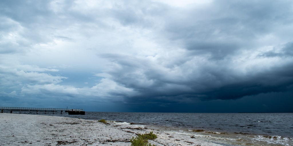
NWS issues weather statement for waterspouts, strong winds for Monterey Bay
The National Weather Service issued a special weather statement for Monterey Bay warning of potential waterspouts and 40 mph wind gusts. Severe weather alerts also impact Southern California and the East Coast.
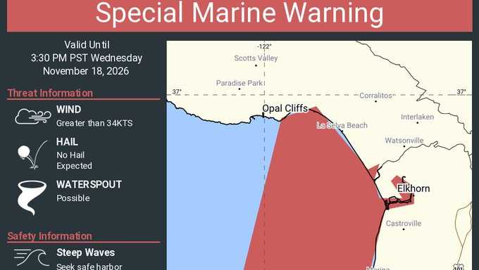
Coastal communities across the United States are facing a barrage of severe weather alerts as multiple low-pressure systems and heavy marine hazards unfold. According to the National Weather Service, a special weather statement was issued for parts of Santa Cruz County, warning of potential waterspouts and wind gusts up to 40 mph through 3:30 p.m.
Radar tracked a stationary shower over Soquel, prompting a Special Marine Warning for Monterey Bay and coastal waters from Pigeon Point to Point Pinos and from Point Pinos to Point Piedras Blancas, extending 10 nautical miles offshore. Forecasters noted that waterspouts possess the capacity to overturn boats and create treacherous water conditions, while gusty winds threaten to knock down tree limbs and blow unsecured objects around.
Media additions
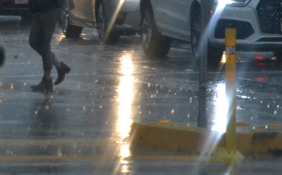


Across the country, the Santa Monica Daily Press reported that a powerful storm system is expected to soak the Los Angeles area. Forecasters indicated 70% to 80% confidence that a moderate storm would arrive, carrying heavy rainfall and potential flooding following a weak system that brought light showers. The heaviest rain is projected along the coast and in valleys, with significantly higher totals anticipated on south-facing mountain slopes. The Weather Prediction Center placed Los Angeles and its suburbs under a Slight Risk, Level 2 of 4, of excessive rainfall. Forecasters warned of the added threat of debris flows near recent burn scars, alongside strong winds that could cause downed trees and power outages.
Meanwhile, on the East Coast, a developing low-pressure system is drawing close attention from meteorologists. According to reports, the disturbance near the Bahamas and southeastern coastline is being monitored for potential subtropical or tropical development over warm ocean waters. Much of South Carolina remains classified as either in moderate drought or abnormally dry conditions, meaning the anticipated rainfall could provide beneficial moisture. However, forecasters caution that the system also brings risks of coastal flooding, beach erosion, and strong winds.
| Region | Weather Hazard | Forecast Details |
|---|---|---|
| Monterey Bay | Waterspouts and Wind | Wind gusts up to 40 mph and possible waterspouts through 3:30 p.m. |
| Los Angeles Area | Heavy Rain and Flooding | 1 to 3 inches expected along coast and valleys; up to 5 inches on mountain slopes. |
| The Lowcountry | Coastal Low System | Rainfall totals approaching an inch by Sunday morning, with wind gusts exceeding 30 mph. |
Atmospheric factors such as strong upper-level wind shear are expected to work against tropical organization for the East Coast system, though marine conditions are already turning hazardous. Small craft advisories are in effect for portions of South Carolina's coastal waters, and forecasters note that inexperienced mariners should avoid navigating these areas. Similar marine precautions are mirrored internationally, where the Met Office issues regular inshore waters forecasts detailing wind direction, sea state, and visibility for vessels up to 12 miles offshore.
What to watch next
- Forecasters in Southern California will evaluate flood watch decisions and monitor wind advisory thresholds as the mid-week storm front progresses.
- The National Hurricane Center will continue tracking the southeastern disturbance to determine whether it tracks closer to the mainland or remains offshore.
- Mariners and coastal residents are advised to monitor updated marine warnings and local forecasts as weekend conditions evolve.