Storm Chandra brings heavy rain, winds and flooding across UK
Storm Chandra has triggered a major incident in Somerset and caused widespread disruption across the UK. Emergency services are urging caution as saturated ground increases the risk of further flooding.
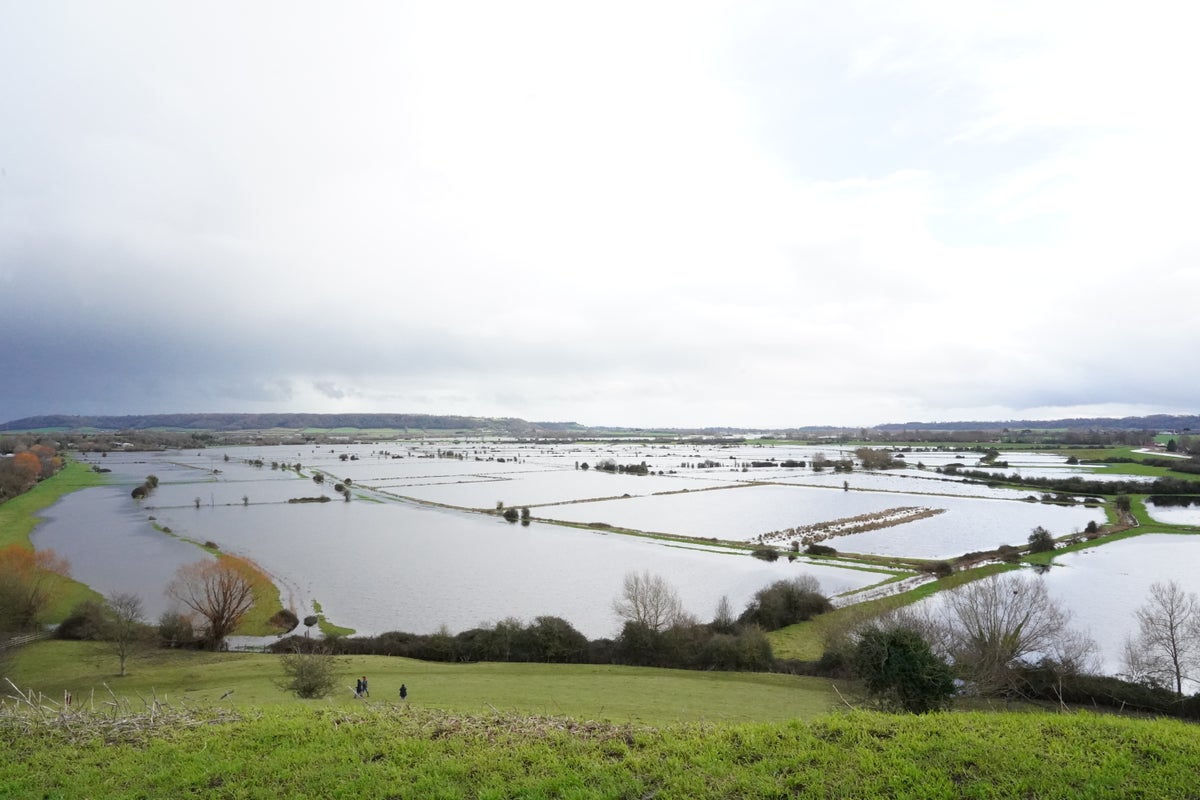
- Core Development: Storm Chandra has triggered a major incident in Somerset and caused widespread disruption across the UK. Emergency services are urging caution as saturated ground increases the risk of further flooding.
- Beat Context: Categorized under Weather with independent corroboration.
- Reporting Depth: 3 minute analytical read synthesized from verified newsroom sources.
Tuesday 27 January 2026 saw Storm Chandra slam the United Kingdom with a mix of torrential rain, gale‑force gusts and hill snow. The storm arrived just days after Storm Goretti, leaving little time for rivers to recover and prompting emergency services to declare a “major incident” in Somerset.
Chronology and wider context
Chief forecaster Paul Gundersen warned that “initially strong winds will impact the Isles of Scilly, western Cornwall and southwest Wales which are still vulnerable after Storm Goretti, gusts of 70 to 80 mph are possible here.” He added that “heavy rain is an additional hazard as it falls on saturated ground in Dorset and southern parts of Devon, Somerset and Cornwall,” and that “as Chandra interacts with colder air further north snow becomes a hazard, with 10 to 20cm of snow possibly accumulating over higher ground in the Pennines, southern Scotland and the Highlands.”
Media additions


Warnings in force
The Met Office said of Storm Chandra: "Easterly winds will increase early on Tuesday morning bringing gusts of 60-70 mph to eastern and northern parts of Northern Ireland with a few coastal locations seeing gusts of 75 mph. Heavy rain will be an additional hazard."
According to the Met Office, “winds may ease a little early in the afternoon, before increasing to similar speeds once more from a south‑easterly direction late afternoon and early evening.”
Impact on transport and communities
Dozens of flood warnings remain in place across the UK, with a major incident also declared in Somerset as a result of the disruption caused by the downfalls earlier in the week.
Tragically, a lorry driver died in the New Forest after crashing into a river on Tuesday in the aftermath of Storm Chandra.
Emergency response and public health alerts
The UK Health Security Agency activated cold‑health alerts for northern England until Friday amid a 'greater risk to life of vulnerable people'.
RAC's Nick Mullender warned: 'Flooding is highly likely, making many roads dangerous. Our message to drivers is simple: do not drive through standing water unless you are completely certain the water is shallow enough and it's safe to do so.'
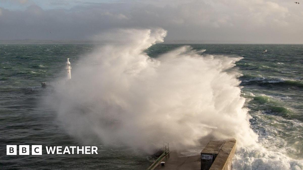
The Royal National Lifeboat Institution (RNLI) is warning people to be vigilant near the coast in Devon and Cornwall due to because of the potential of 15ft waves surging up exposed beaches and topping over sea fronts and harbour walls.
“Storm Chandra will bring a range of hazards to the UK. Initially strong winds will impact the Isles of Scilly, western Cornwall and southwest Wales which are still vulnerable after Storm Goretti, gusts of 70 to 80 mph are possible here.”
Paul Gundersen, chief forecaster, via Met Office
“Flooding is highly likely, making many roads dangerous. Our message to drivers is simple: do not drive through standing water unless you are completely certain the water is shallow enough and it's safe to do so.”
Nick Mullender, RAC
What to watch next
The Met Office stated: “A band of rain will arrive across Cornwall on Thursday afternoon then move northeast across the warning area through the evening and clearing during early Friday. The rain is only likely to last for a few hours in any one location but will be at heavy at times. A further 10-15 mm of rain is expected fairly widely, but some locations, most likely in the south of the area, could see 20-25 mm. The likelihood of impacts from these rainfall amounts is higher than normal due to saturated ground and ongoing flooding following Storm Chandra.”
How significant is this development?
Contribute your assessment to the aggregated reader sentiment ledger.
Frequently Asked Questions
Key questions answered in this reportWhat is the key development in: Storm Chandra brings heavy rain, winds and flooding across UK?
Storm Chandra has triggered a major incident in Somerset and caused widespread disruption across the UK. Emergency services are urging caution as saturated ground increases the risk of further flooding.
Why is this Weather development significant for the UK?
This report covers critical events in our Weather beat. Independent reporting monitors related UK statements, regulatory shifts, and public responses as further verified details emerge.
How was this reporting corroborated and verified?
Newsarchy UK compiles and cross-references reporting from primary reporting from newsbreak.com and cross-checked wire reports. All coverage adheres to published editorial standards.
When was this report published?
This briefing was published on July 7, 2026 and is permanently cataloged in the Newsarchy UK Weather archives.