Met Office forecasts warmer temperatures across UK as high pressure returns
High pressure is set to bring warmer, settled conditions to the UK next week, though dry conditions have sustained wildfire risks in several national parks.
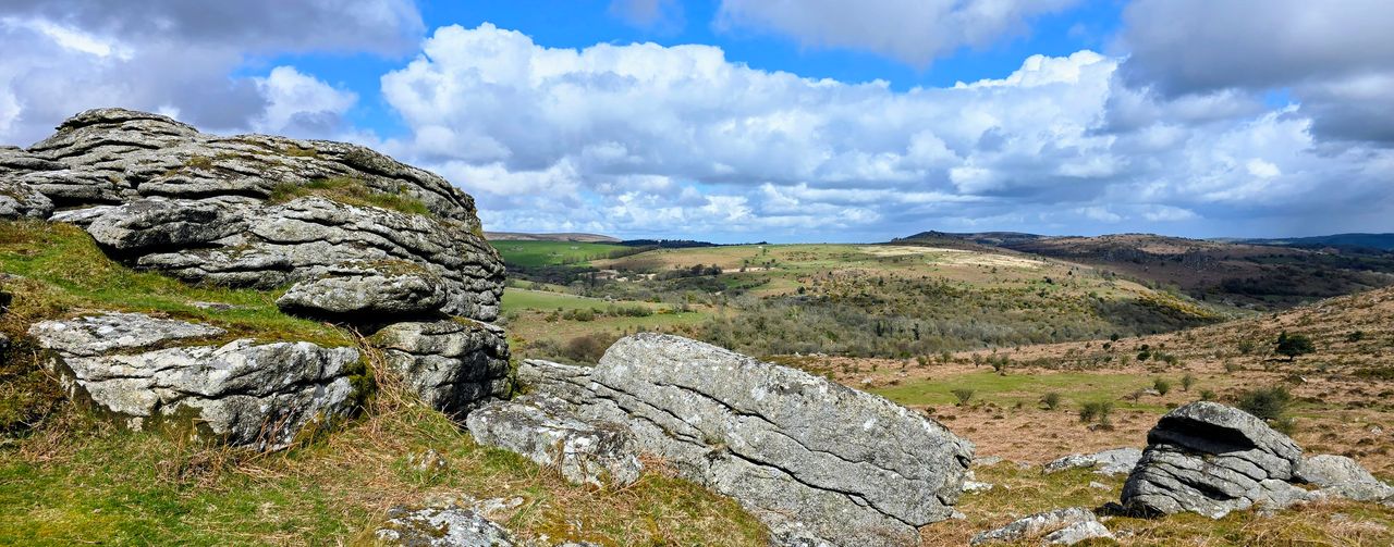
- Core Development: High pressure is set to bring warmer, settled conditions to the UK next week, though dry conditions have sustained wildfire risks in several national parks.
- Beat Context: Categorized under Weather with independent corroboration.
- Reporting Depth: 3 minute analytical read synthesized from verified newsroom sources.
The United Kingdom is preparing for a shift in atmospheric conditions as high pressure returns to the forecast, ushering in a period of more settled and warmer weather. Following recent variable conditions characterized by regional rainfall, the Met Office suggests that southern areas will experience the most pronounced warming in the coming days, with temperatures trending above the seasonal norm beginning next week.
This anticipated stability follows a period of unsettled Weather, during which northern and northwestern regions encountered cloudier skies and intermittent patchy rain or drizzle. While these areas may continue to see changeable weather early in the period, the forecast indicates such conditions will likely become less frequent as drier and warmer air extends northward. Despite the overarching trend toward settled weather, the Met Office notes that occasional showers, or the possibility of thunderstorms, cannot be entirely ruled out during the transition.
Regional Variations and Environmental Hazards
The transition is not uniform across the country, with environmental conditions necessitating caution in several areas. According to the Mountain Weather Information Service (MWIS), hill temperatures in the Yorkshire Dales and North Pennines are expected to reach between 10C and 15C. Hikers are advised that while conditions may feel pleasantly warm on lower ground, the tops may feel chilly if exposed to wind. As of Friday, 17 July 2026, many parts of the country remain very dry. This lack of moisture has sustained a persistent wildfire risk, leading to restricted access in areas such as parts of north Wales, the Peak District, and the Cairngorms National Park.
The Met Office identifies current volatility as part of a broader climatic shift. As Mike Kendon, lead author of the latest State of the UK Climate report, stated:
"What we used to think of as extreme, we increasingly consider as normal."
Mike Kendon, lead author, via Met Office
Driving Advice and Safety Protocols
The Rac urges motorists to remain informed and adaptable as weather patterns evolve. Drivers are encouraged to monitor the latest national weather forecasts to mitigate the risk of encountering sudden localized hazards. The RAC highlights the importance of the three-tiered warning system: yellow, amber, and red. A yellow warning indicates that disruptive weather is possible, whereas an amber warning signifies a higher likelihood of severe weather with potential impacts on travel and essential services. A red warning is reserved for the most extreme events where there is a clear risk to life, and the RAC advises that travel should be avoided in such instances.
Chronology and Forecast Outlook
The forecast for the coming week reflects a complex interaction between lingering regional moisture and encroaching high pressure. Residents should note the following developments as the week progresses:
- Weekend Transition: Temperatures are forecast to sit near the seasonal norm on Sunday, 19 July 2026, before trending higher into the following week.
- Northern Changes: While the south is expected to enjoy more sunshine, northern regions should remain alert for occasional rain, particularly as cloud cover thickens.
- Long-term Trends: Looking beyond the immediate return of high pressure, the outlook indicates that conditions may become more changeable toward the end of the month, with potential for wind and rain.
- Wildfire Restrictions: Due to continued dry ground conditions, authorities maintain access restrictions to specific national parks; visitors are encouraged to verify local guidance before traveling.
The broader climate context remains influenced by both long-term trends and natural patterns. Historically, rainfall across the UK has shown significant month-to-month variability, with 2025 reflecting a year of abrupt shifts between dry spells and intense, short-lived wet periods. Additionally, global climate patterns—such as the influence of El Niño, which can impact sea surface temperatures and subsequent atmospheric conditions—remain a factor that may affect weather patterns throughout the summer months of 2026.
How significant is this development?
Contribute your assessment to the aggregated reader sentiment ledger.
Frequently Asked Questions
Key questions answered in this reportWhat is the key development in: Met Office forecasts warmer temperatures across UK as high pressure returns?
High pressure is set to bring warmer, settled conditions to the UK next week, though dry conditions have sustained wildfire risks in several national parks.
Why is this Weather development significant for the UK?
This report covers critical events in our Weather beat. Independent reporting monitors related UK statements, regulatory shifts, and public responses as further verified details emerge.
How was this reporting corroborated and verified?
Newsarchy UK compiles and cross-references reporting from primary reporting from rac.co.uk and cross-checked wire reports. All coverage adheres to published editorial standards.
When was this report published?
This briefing was published on July 17, 2026 and is permanently cataloged in the Newsarchy UK Weather archives.


