Strong 7.3 earthquake shakes southern Mexico, Guatemala
A 7.3 magnitude earthquake struck off the southern coast of Mexico, triggering evacuations and reports of landslides. Authorities are monitoring for aftershocks while conducting infrastructure assessments.
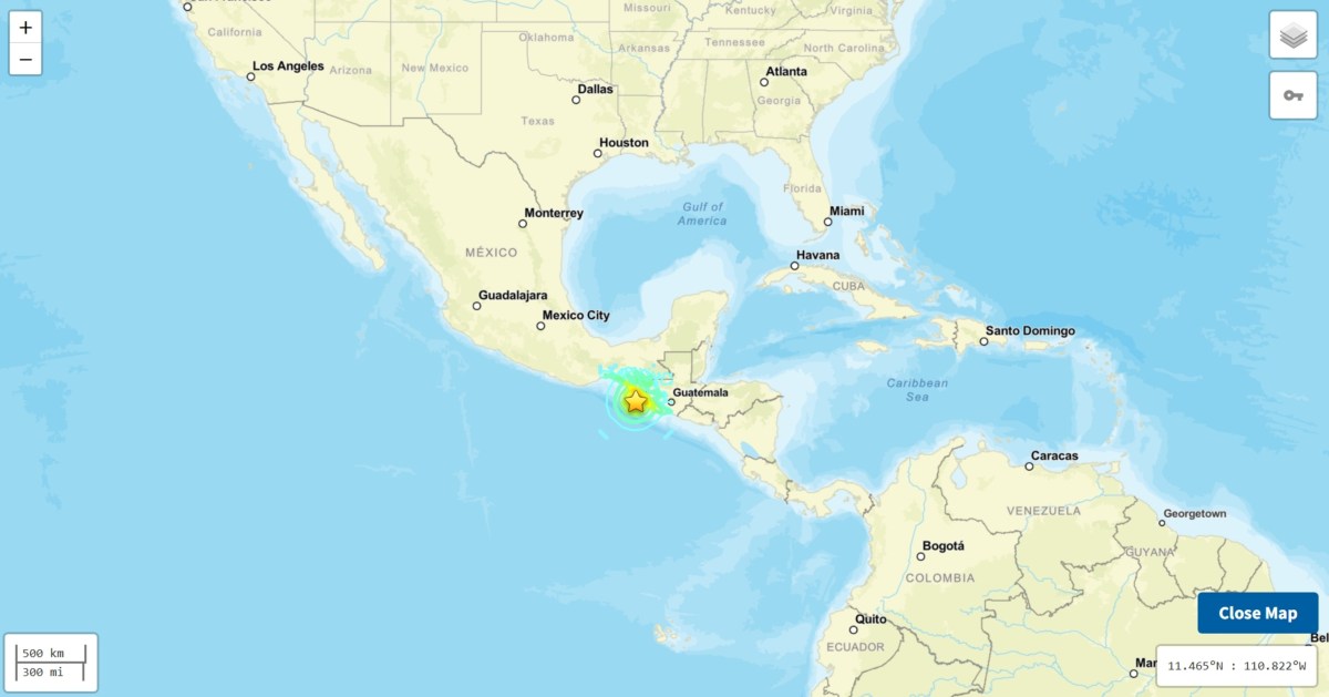
A magnitude 7.3 earthquake struck off the southern Pacific coast of Mexico on Friday, 17 July 2026, sending tremors across the border into Guatemala and as far as Mexico City and El Salvador. Despite the intensity of the event, authorities in both countries have reported no immediate deaths or catastrophic structural damage.
The U.S. Geological Survey (USGS) placed the epicenter of the tremor approximately 30 miles southwest of the coastal community of Aquiles Serdán, in the state of Chiapas, at a shallow depth of 9 miles. The shallow nature of the quake, which occurred at 8:48 a.m. Local time, typically heightens the intensity of surface shaking. The main event was preceded by a smaller foreshock further out in the ocean and was followed by a series of at least five aftershocks ranging between magnitude 5.1 and 6, according to the USGS.
Media additions

In Tapachula, the primary city on Mexico’s southern border, residents experienced a gradual intensification of shaking.
"We were upstairs on the second floor when it started shaking; we thought it would pass, but then it got stronger, so we all went downstairs and evacuated in an orderly manner to the front courtyard,"
Alejandra Mendoza, administrative employee at a public hospital, via The Associated Press
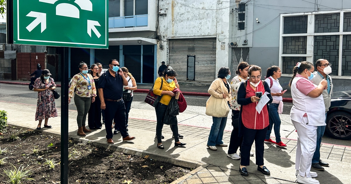
The tremor prompted widespread precautionary measures. In Guatemala City, workers poured into the streets during the morning rush hour as buildings were evacuated. Guatemala's National Coordinator for Disaster Reduction (CONRED) reported no major damage, though social media reports documented some landslides on roads in western regions. As a safety precaution, the Guatemalan Ministry of Education suspended in-person classes in the departments of San Marcos, Quetzaltenango, Suchitepéquez, and Retalhuleu.
In Mexico City, the seismic alert system did not activate. The government stated that the energy radiated by the earthquake during the initial seconds did not exceed the required activation thresholds, even though the movement caused buildings to sway and creak. In Chiapas, reports indicated that a Haitian woman was injured in Tapachula after jumping from a second-floor flat in panic.
The seismic event prompted immediate coastal concerns. Navy Minister Raymundo Pedro Morales and President Claudia Sheinbaum urged residents to exercise caution regarding potential tsunami impacts. While the U.S. Tsunami Warning System initially identified a potential for hazardous waves within 186 miles of the epicenter, the alert was later lifted. Initial warnings from the Meteorological Service of Chiapas had cautioned that waves could reach heights of up to 1 meter (3.3 feet).
The region is situated along the Pacific Ring of Fire, a 25,000-mile belt prone to intense seismic and volcanic activity. Experts note that the Cocos plate is actively subducting beneath the North American plate in this area. While this specific event appears to have resulted in limited physical destruction, the area is historically sensitive to seismic shocks, having seen significant casualties in previous years, including a 7.1 magnitude quake in 2017 and a fatal event earlier in 2026.
What to watch next
- Aftershock sequence: Authorities warn that significant aftershocks may continue for days or weeks.
- Infrastructure assessments: Teams are currently working to clear roads affected by landslides and verify the integrity of public buildings.
- Coastal monitoring: Despite the lifting of formal warnings, local officials in municipalities such as Suchiate continue to monitor shoreline activity for residual effects.
The situation remains in the assessment phase as local governments continue their protocols to ensure public safety in the wake of the tremors.